Frielendorf night lights from space
Night Light of Frielendorf (Hesse) from space (Germany) Src. Average luminocity for 10x10km area is 0.0182% and for 50x50km: 0.9869%.
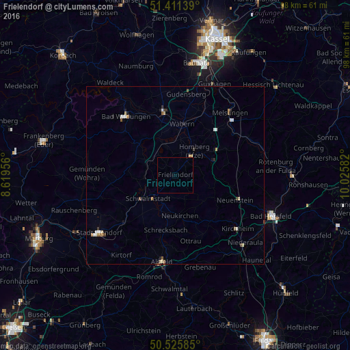
Analysis of Frielendorf night lights 2016
Square area 10x10 km:
 0%
0%90-99
0%80-89
0%70-79
0%60-69
0%50-59
0%40-49
0%30-39
0%20-29
0%10-19
0%0-9
100%Square area 50x50 km:
0.12%90-99
0.18%80-89
0.17%70-79
0.11%60-69
0.12%50-59
0.14%40-49
0.07%30-39
0.12%20-29
0.2%10-19
0.17%0-9
98.6%Clear (daylight) street map image can be seen on geolist.org.
Map coordinates:
51° 24' 41" North, 8° 37' 10.4" East
50° 58' 14.6" North, 9° 19' 21.7" East
50° 31' 33.1" North, 10° 1' 33" East
Some cities around Frielendorf sort by population:
• Schwalmstadt
8.5 km =5.3 mi,  240°
240°
• Homberg
8.6 km =5.3 mi,  40°
40°
• Fritzlar
18.2 km =11.3 mi,  349°
349°
• Borken
8.7 km =5.4 mi,  342°
342°
• Neustadt (Hessen)
19.7 km =12.2 mi,  227°
227°
• Wabern
14.5 km =9 mi,  7°
7°
• Neukirchen
11.4 km =7.1 mi,  171°
171°
• Willingshausen
15.9 km =9.9 mi,  212°
212°
2924428 (p: 8,239)
Sources (retrieved 2019-11-25):
» Earth at Night: Flat Maps 2012, 2016