Egestorf night lights from space
Night Light of Egestorf (Lower Saxony) from space (Germany) Src. Average luminocity for 10x10km area is 5.4205% and for 50x50km: 12.4157%.
Analysis of Egestorf night lights 2016
Square area 10x10 km:
 0%
0%90-99
0.51%80-89
1.26%70-79
1.01%60-69
1.26%50-59
1.01%40-49
0.76%30-39
1.01%20-29
0%10-19
0.51%0-9
92.68%Square area 50x50 km:
2.94%90-99
3.12%80-89
1.08%70-79
1.02%60-69
1.21%50-59
1.28%40-49
1.04%30-39
1.45%20-29
3.16%10-19
4.93%0-9
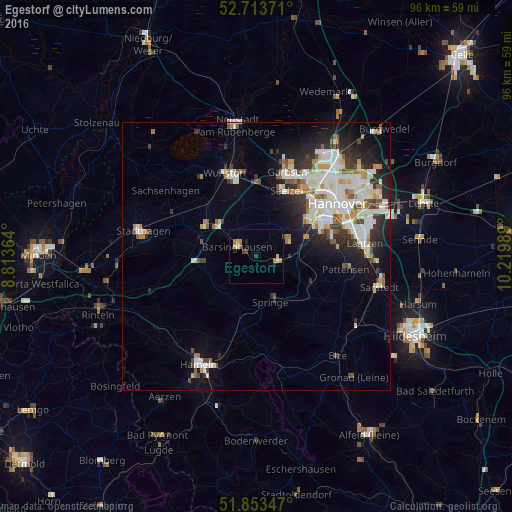
78.77%Clear (daylight) street map image can be seen on geolist.org.
Map coordinates:
52° 42' 49.4" North, 8° 48' 49.1" East
52° 17' 8.4" North, 9° 31' 0.3" East
51° 51' 12.5" North, 10° 13' 11.6" East
Some cities around Egestorf sort by population:
• Springe
9 km =5.6 mi,  163°
163°
• Ronnenberg
10.1 km =6.3 mi,  68°
68°
• Bad Münder am Deister
10.6 km =6.6 mi,  199°
199°
• Gehrden
6.5 km =4 mi,  61°
61°
• Barsinghausen
4.8 km =3 mi,  289°
289°
• Wennigsen
4 km =2.5 mi,  108°
108°
• Bad Nenndorf
11 km =6.8 mi,  301°
301°
• Rodenberg
11.3 km =7 mi,  284°
284°
2933188 (p: 7,959)
Sources (retrieved 2019-11-25):
» Earth at Night: Flat Maps 2012, 2016