Aguadas night lights from space
Night Light of Aguadas (Caldas) from space (Colombia) Src. Average luminocity for 10x10km area is 3.2645% and for 50x50km: 1.2674%.
Analysis of Aguadas night lights 2016
Square area 10x10 km:
 0%
0%90-99
1.45%80-89
1.03%70-79
0%60-69
0.83%50-59
0%40-49
0%30-39
0%20-29
0%10-19
0.83%0-9
95.87%Square area 50x50 km:
0.05%90-99
0.22%80-89
0.09%70-79
0.24%60-69
0.45%50-59
0.12%40-49
0.14%30-39
0.19%20-29
0.15%10-19
0.09%0-9
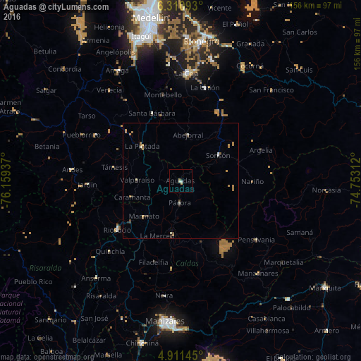
98.26%Clear (daylight) street map image can be seen on geolist.org.
Map coordinates:
6° 18' 39.3" North, 76° 9' 33.7" West
5° 36' 41.8" North, 75° 27' 22.5" West
4° 54' 41.2" North, 74° 45' 11.2" West
Some cities around Aguadas sort by population:
• Salamina
23 km =14.3 mi,  188°
188°
• Sonsón
19.5 km =12.1 mi,  55°
55°
• Supía
27.8 km =17.3 mi,  230°
230°
• Santa Bárbara
31.7 km =19.7 mi,  337°
337°
• Pácora
9.4 km =5.8 mi,  182°
182°
• Abejorral
20 km =12.4 mi,  9°
9°
• Támesis
29.1 km =18.1 mi,  281°
281°
• La Pintada
22.5 km =14 mi,  312°
312°
3690431 (p: 19,727)
Sources (retrieved 2019-11-25):
» Earth at Night: Flat Maps 2012, 2016