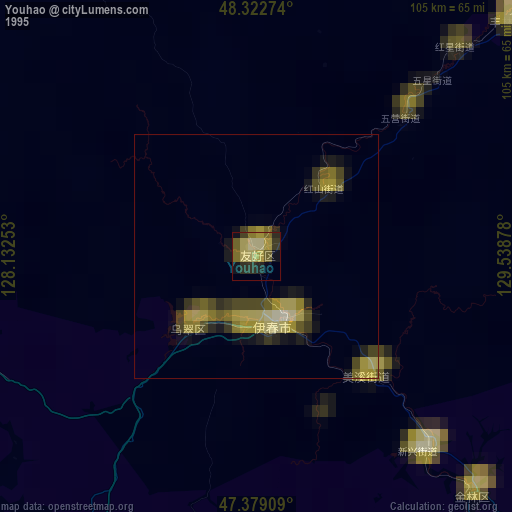
Youhao night lights from space
Night Light of Youhao (Heilongjiang) from space (China) Src. Average luminocity for 10x10km area is 0% and for 50x50km: 0.2447%.
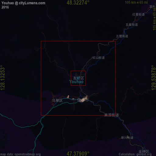


Analysis of Youhao night lights 2016
Square area 10x10 km:
 0%
0%90-99
0%80-89
0%70-79
0%60-69
0%50-59
0%40-49
0%30-39
0%20-29
0%10-19
0%0-9
100%Square area 50x50 km:
0%90-99
0%80-89
0%70-79
0%60-69
0.02%50-59
0.05%40-49
0.21%30-39
0.1%20-29
0.15%10-19
0.06%0-9
99.41%Clear (daylight) street map image can be seen on geolist.org.
Map coordinates:
48° 19' 21.9" North, 128° 7' 57.1" East
47° 51' 11" North, 128° 50' 8.3" East
47° 22' 44.7" North, 129° 32' 19.6" East
Some cities around Youhao sort by population:
• Hegang
123.2 km =76.6 mi,  116°
116°
• Yichun
14.9 km =9.3 mi,  168°
168°
• Lianhe
86.5 km =53.7 mi,  157°
157°
• Hailun
147.7 km =91.8 mi,  252°
252°
• Tieli
113.8 km =70.7 mi,  211°
211°
• Langxiang
100.5 km =62.4 mi,  178°
178°
• Suileng
146.9 km =91.3 mi,  242°
242°
• Xinqing
70.3 km =43.7 mi,  46°
46°
2033301 (p: 78,402)
Sources (retrieved 2019-11-25):
» NASA, Earths city lights 1995
» NASA city lights 2003
» Earth at Night: Flat Maps 2012, 2016