Yanta night lights from space
Night Light of Yanta (Shandong) from space (China) Src. Average luminocity for 10x10km area is 27.3514% and for 50x50km: 5.2906%.
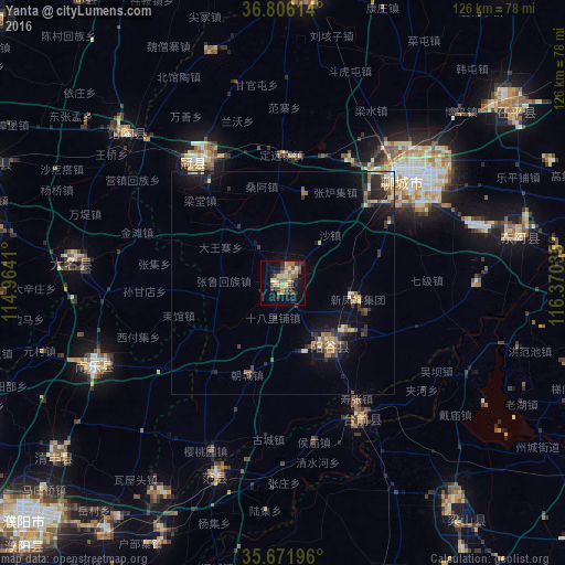
Analysis of Yanta night lights 2016
Square area 10x10 km:
 0%
0%90-99
4.72%80-89
4.55%70-79
3.85%60-69
3.85%50-59
7.17%40-49
3.85%30-39
6.12%20-29
5.77%10-19
18.71%0-9
41.43%Square area 50x50 km:
0.09%90-99
0.77%80-89
0.79%70-79
0.54%60-69
0.69%50-59
0.97%40-49
0.55%30-39
1.48%20-29
1.41%10-19
4.13%0-9
88.58%Clear (daylight) street map image can be seen on geolist.org.
Map coordinates:
36° 48' 22.1" North, 114° 57' 50.8" East
36° 14' 28" North, 115° 40' 2" East
35° 40' 19.1" North, 116° 22' 13.3" East
Some cities around Yanta sort by population:
• Puyang Chengguanzhen
83.7 km =52 mi,  224°
224°
• Liaocheng
36.7 km =22.8 mi,  49°
49°
• Qingnian
66.7 km =41.4 mi,  3°
3°
• Feicheng
98.5 km =61.2 mi,  89°
89°
• Yanggu
17.5 km =10.9 mi,  146°
146°
• Zhoucheng
68.5 km =42.6 mi,  122°
122°
• Pingyin
69.9 km =43.4 mi, 86°
• Wenshang
93.9 km =58.3 mi,  127°
127°
1795579 (p: 79,196)
Sources (retrieved 2019-11-25):
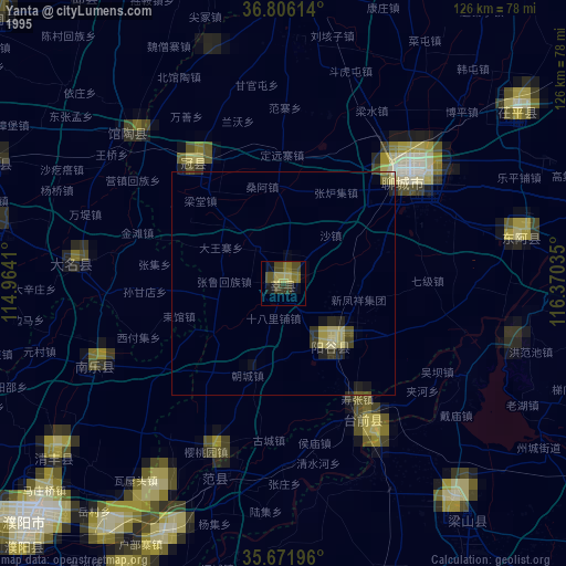
» NASA, Earths city lights 1995
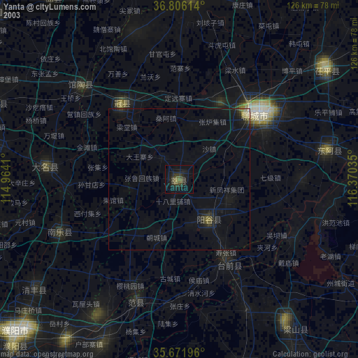
» NASA city lights 2003
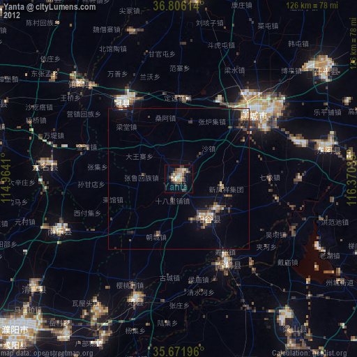
» Earth at Night: Flat Maps 2012, 2016