Feicheng night lights from space
Night Light of Feicheng (Shandong) from space (China) Src. Average luminocity for 10x10km area is 9.3409% and for 50x50km: 4.5708%.
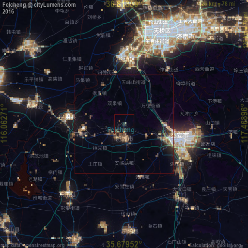
Analysis of Feicheng night lights 2016
Square area 10x10 km:
 0%
0%90-99
0.17%80-89
0.52%70-79
1.22%60-69
0.17%50-59
2.1%40-49
1.75%30-39
3.67%20-29
6.29%10-19
7.87%0-9
76.22%Square area 50x50 km:
0.21%90-99
0.3%80-89
0.43%70-79
0.53%60-69
0.61%50-59
1.08%40-49
0.99%30-39
1.02%20-29
1.63%10-19
3.53%0-9
89.68%Clear (daylight) street map image can be seen on geolist.org.
Map coordinates:
36° 48' 48.9" North, 116° 3' 45.8" East
36° 14' 55" North, 116° 45' 57" East
35° 40' 46.3" North, 117° 28' 8.3" East
Some cities around Feicheng sort by population:
• Tai’an
32.5 km =20.2 mi,  102°
102°
• Jinan
51.1 km =31.8 mi,  23°
23°
• Liaocheng
74.3 km =46.2 mi,  288°
288°
• Ningyang
53.9 km =33.5 mi,  177°
177°
• Changqing
34.5 km =21.4 mi,  354°
354°
• Zhoucheng
55.4 km =34.4 mi,  227°
227°
• Pingyin
29 km =18 mi,  277°
277°
• Wenshang
62.8 km =39 mi,  202°
202°
1789176 (p: 77,606)
Sources (retrieved 2019-11-25):
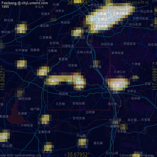
» NASA, Earths city lights 1995
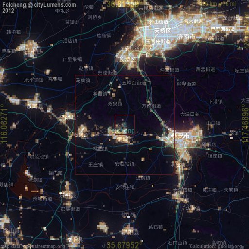
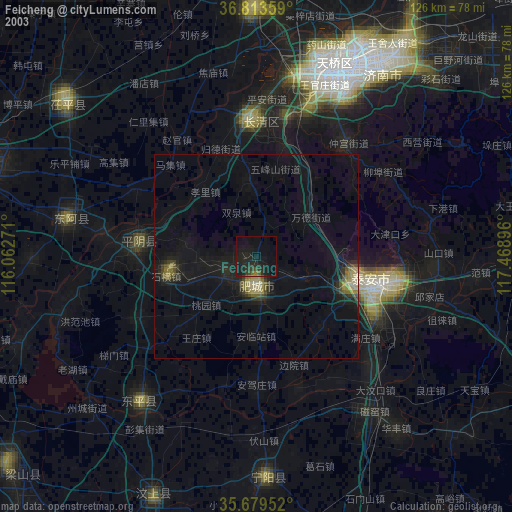
» NASA city lights 2003
» Earth at Night: Flat Maps 2012, 2016