Xucheng night lights from space
Night Light of Xucheng (Guangdong) from space (China) Src. Average luminocity for 10x10km area is 24.1515% and for 50x50km: 2.2007%.
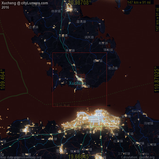


Analysis of Xucheng night lights 2016
Square area 10x10 km:
 0.57%
0.57%90-99
0.95%80-89
6.44%70-79
4.92%60-69
3.03%50-59
4.73%40-49
3.41%30-39
3.6%20-29
2.08%10-19
25%0-9
45.27%Square area 50x50 km:
0.02%90-99
0.04%80-89
0.37%70-79
0.4%60-69
0.34%50-59
0.38%40-49
0.38%30-39
0.5%20-29
0.3%10-19
1.69%0-9
95.57%Clear (daylight) street map image can be seen on geolist.org.
Map coordinates:
20° 59' 13.5" North, 109° 27' 50.4" East
20° 19' 45" North, 110° 10' 1.6" East
19° 40' 6.4" North, 110° 52' 12.9" East
Some cities around Xucheng sort by population:
• Zhongshan
117.9 km =73.3 mi,  20°
20°
• Zhanjiang
107.4 km =66.7 mi,  9°
9°
• Haikou
36.4 km =22.6 mi,  149°
149°
• Xiuying
38.8 km =24.1 mi,  160°
160°
• Wenchang
100 km =62.1 mi,  142°
142°
• Qiongshan
40.9 km =25.4 mi, 151°
• Jinjiang
68.8 km =42.8 mi,  193°
193°
• Lincheng
68.7 km =42.7 mi,  227°
227°
1787837 (p: 83,267)
Sources (retrieved 2019-11-25):
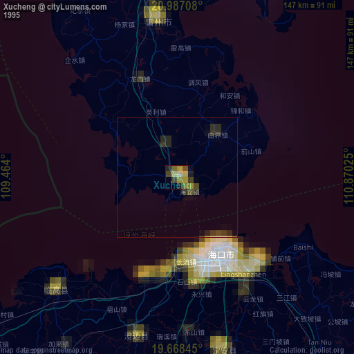
» NASA, Earths city lights 1995
» NASA city lights 2003
» Earth at Night: Flat Maps 2012, 2016