Lijiang night lights from space
Night Light of Lijiang (Yunnan) from space (China) Src. Average luminocity for 10x10km area is 64.1131% and for 50x50km: 4.5142%.
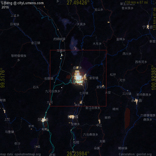
Analysis of Lijiang night lights 2016
Square area 10x10 km:
 17.06%
90-99
15.08%80-89
8.13%70-79
13.89%60-69
4.17%50-59
3.57%40-49
6.75%30-39
6.75%20-29
16.47%10-19
8.13%0-9
0%Square area 50x50 km:
0.77%90-99
0.7%80-89
0.67%70-79
0.73%60-69
0.31%50-59
0.38%40-49
0.56%30-39
0.56%20-29
1.36%10-19
3.18%0-9
90.78%Clear (daylight) street map image can be seen on geolist.org.
Map coordinates:
27° 29' 39.3" North, 99° 31' 3.4" East
26° 52' 7.6" North, 100° 13' 14.6" East
26° 14' 23.4" North, 100° 55' 25.9" East
Some cities around Lijiang sort by population:
• Kunming
322.1 km =200.1 mi,  129°
129°
• Dadukou
151.7 km =94.3 mi,  103°
103°
• Dali
142.8 km =88.7 mi,  180°
180°
• Majie
316.4 km =196.6 mi, 130°
• Shangri-La
117.8 km =73.2 mi,  334°
334°
• Xichang
231.8 km =144 mi,  60°
60°
• Lianran
313.2 km =194.6 mi, 133°
• Longquan
312.1 km =193.9 mi,  141°
141°
1813253 (p: 1,137,600)
Sources (retrieved 2019-11-25):
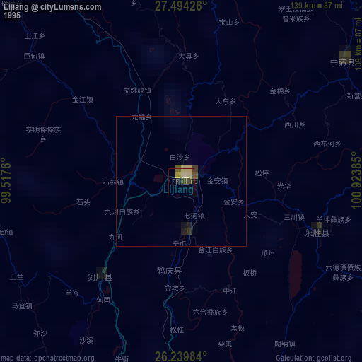
» NASA, Earths city lights 1995
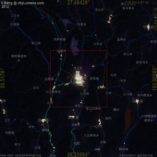
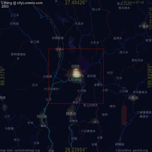
» NASA city lights 2003
» Earth at Night: Flat Maps 2012, 2016