Lianyuan night lights from space
Night Light of Lianyuan (Hunan) from space (China) Src. Average luminocity for 10x10km area is 14.2222% and for 50x50km: 1.5579%.
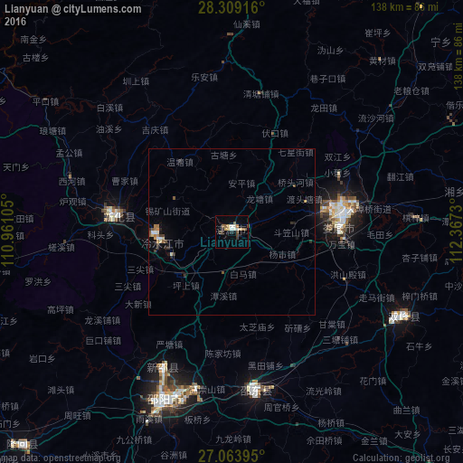
Analysis of Lianyuan night lights 2016
Square area 10x10 km:
 0.99%
0.99%90-99
2.98%80-89
1.19%70-79
1.79%60-69
1.79%50-59
3.17%40-49
2.78%30-39
1.19%20-29
1.59%10-19
1.59%0-9
80.95%Square area 50x50 km:
0.1%90-99
0.21%80-89
0.18%70-79
0.11%60-69
0.25%50-59
0.33%40-49
0.25%30-39
0.24%20-29
0.33%10-19
0.32%0-9
97.67%Clear (daylight) street map image can be seen on geolist.org.
Map coordinates:
28° 18' 33" North, 110° 57' 39.8" East
27° 41' 18" North, 111° 39' 51" East
27° 3' 50.2" North, 112° 22' 2.3" East
Some cities around Lianyuan sort by population:
• Loudi
32.9 km =20.4 mi,  81°
81°
• Lengshuijiang
23.1 km =14.4 mi,  269°
269°
• Xiangxiang
85.7 km =53.3 mi,  86°
86°
• Shangmei
36.8 km =22.9 mi,  279°
279°
• Yongfeng
58.8 km =36.5 mi,  119°
119°
• Yutan
108.5 km =67.4 mi,  54°
54°
• Liuduzhai
80.3 km =49.9 mi,  243°
243°
• Simenqian
79.9 km =49.6 mi,  253°
253°
1804451 (p: 66,501)
Sources (retrieved 2019-11-25):
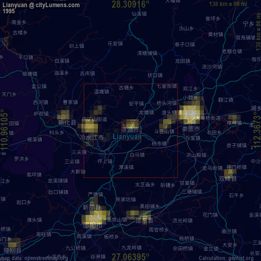
» NASA, Earths city lights 1995
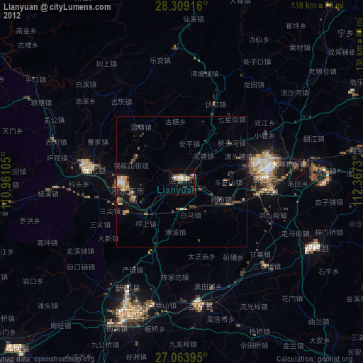
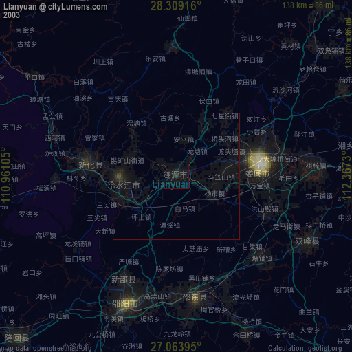
» NASA city lights 2003
» Earth at Night: Flat Maps 2012, 2016