Botou night lights from space
Night Light of Botou (Hebei) from space (China) Src. Average luminocity for 10x10km area is 33.3247% and for 50x50km: 4.8548%.
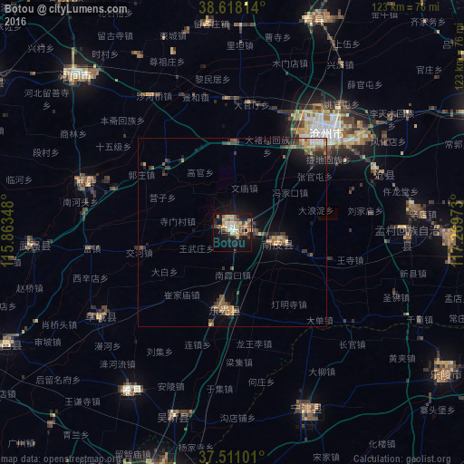
Analysis of Botou night lights 2016
Square area 10x10 km:
 2.6%
2.6%90-99
4.55%80-89
6.01%70-79
6.17%60-69
5.52%50-59
5.03%40-49
3.73%30-39
4.71%20-29
6.01%10-19
31.17%0-9
24.51%Square area 50x50 km:
0.24%90-99
0.36%80-89
0.64%70-79
0.66%60-69
0.89%50-59
0.93%40-49
0.85%30-39
1.12%20-29
1.13%10-19
3.52%0-9
89.66%Clear (daylight) street map image can be seen on geolist.org.
Map coordinates:
38° 37' 5.3" North, 115° 51' 48.5" East
38° 4' 0" North, 116° 33' 59.8" East
37° 30' 39.6" North, 117° 16' 11" East
Some cities around Botou sort by population:
• Cangzhou
38.2 km =23.7 mi,  43°
43°
• Hengshui
84.6 km =52.6 mi,  243°
243°
• Dezhou
72 km =44.7 mi,  198°
198°
• Xinji
120.8 km =75.1 mi,  261°
261°
• Renqiu
81.5 km =50.6 mi,  329°
329°
• Yangliuqing
124.9 km =77.6 mi,  17°
17°
• Xianshuigu
124.4 km =77.3 mi,  34°
34°
• Xinzhuang
126.2 km =78.4 mi, 32°
1816256 (p: 63,045)
Sources (retrieved 2019-11-25):
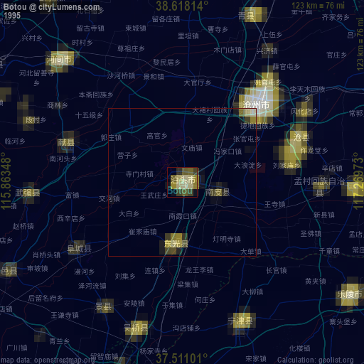
» NASA, Earths city lights 1995
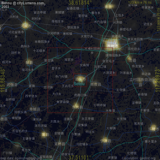
» NASA city lights 2003
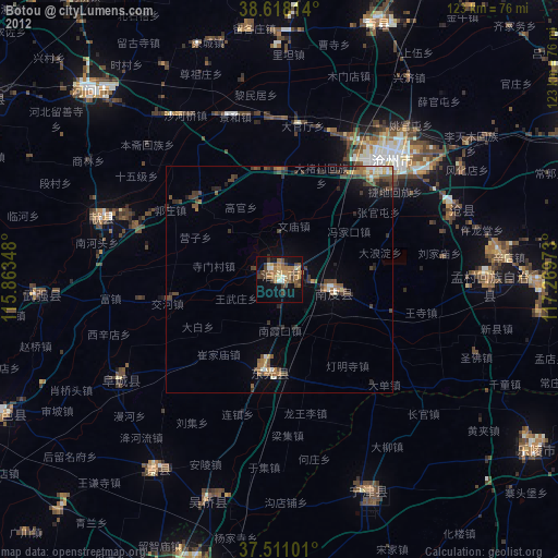
» Earth at Night: Flat Maps 2012, 2016