Zürich (Kreis 10) night lights from space
Night Light of Zürich (Kreis 10) (Zurich) from space (Switzerland) Src. Average luminocity for 10x10km area is 75.0568% and for 50x50km: 18.0519%.
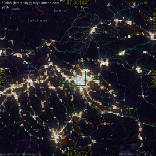
Analysis of Zürich (Kreis 10) night lights 2016
Square area 10x10 km:
 31.96%
90-99
21.02%80-89
5.4%70-79
3.69%60-69
4.69%50-59
5.97%40-49
6.11%30-39
10.94%20-29
10.09%10-19
0.14%0-9
0%Square area 50x50 km:
2.71%90-99
2.85%80-89
1.35%70-79
1.67%60-69
2.59%50-59
2.21%40-49
2.94%30-39
3.03%20-29
4.46%10-19
16.15%0-9
60.05%Clear (daylight) street map image can be seen on geolist.org.
Map coordinates:
47° 52' 53.2" North, 7° 47' 50.5" East
47° 24' 27.8" North, 8° 30' 1.8" East
46° 55' 47" North, 9° 12' 13" East
Some cities around Zürich (Kreis 10) sort by population:
• Zürich
5.9 km =3.7 mi,  140°
140°
• Schlieren
4.2 km =2.6 mi,  252°
252°
• Wallisellen
7.3 km =4.5 mi,  83°
83°
• Urdorf
6.2 km =3.9 mi, 245°
• Regensdorf
3.8 km =2.4 mi,  320°
320°
• Oberengstringen
2.7 km =1.7 mi,  271°
271°
• Rümlang
5.2 km =3.2 mi,  25°
25°
• Wallisellen / Wallisellen-Ost
7.3 km =4.5 mi, 84°
6295539 (p: 36,216)
Sources (retrieved 2019-11-25):
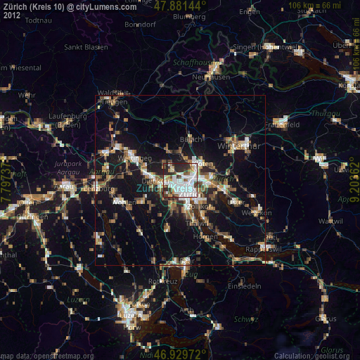
» Earth at Night: Flat Maps 2012, 2016