Vassouras night lights from space
Night Light of Vassouras (Rio de Janeiro) from space (Brazil) Src. Average luminocity for 10x10km area is 15.4148% and for 50x50km: 9.6928%.
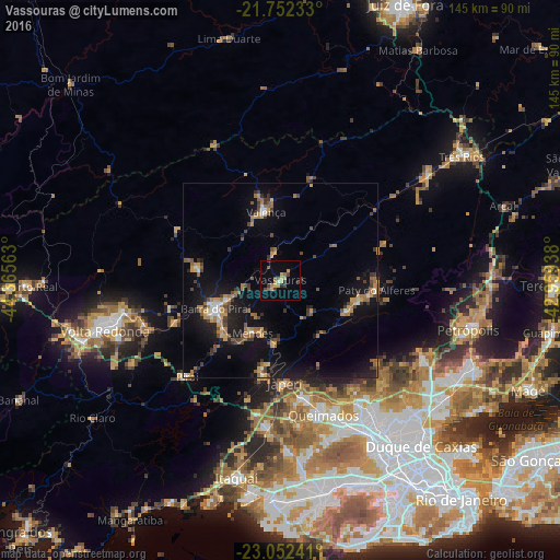
Analysis of Vassouras night lights 2016
Square area 10x10 km:
 0.57%
0.57%90-99
0.19%80-89
3.22%70-79
3.41%60-69
1.14%50-59
3.6%40-49
2.84%30-39
2.46%20-29
1.14%10-19
3.22%0-9
78.22%Square area 50x50 km:
0.5%90-99
0.63%80-89
0.75%70-79
1.65%60-69
1.9%50-59
1.5%40-49
1.68%30-39
1.68%20-29
1.63%10-19
10.13%0-9
77.95%Clear (daylight) street map image can be seen on geolist.org.
Map coordinates:
21° 45' 8.4" South, 44° 21' 56.3" West
22° 24' 14" South, 43° 39' 45" West
23° 3' 8.7" South, 42° 57' 33.8" West
Some cities around Vassouras sort by population:
• Japeri
26.6 km =16.5 mi,  177°
177°
• Barra do Piraí
18.3 km =11.4 mi,  246°
246°
• Valença
18 km =11.2 mi,  347°
347°
• Paracambi
23.2 km =14.4 mi,  191°
191°
• Miguel Pereira
20.7 km =12.9 mi,  105°
105°
• Paty do Alferes
25.2 km =15.7 mi,  96°
96°
• Piraí
34.8 km =21.6 mi,  224°
224°
• Mendes
15.4 km =9.6 mi,  207°
207°
3445433 (p: 21,174)
Sources (retrieved 2019-11-25):
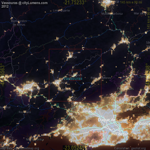
» Earth at Night: Flat Maps 2012, 2016