Tomé Açu night lights from space
Night Light of Tomé Açu (Pará) from space (Brazil) Src. Average luminocity for 10x10km area is 10.5455% and for 50x50km: 1.1154%.
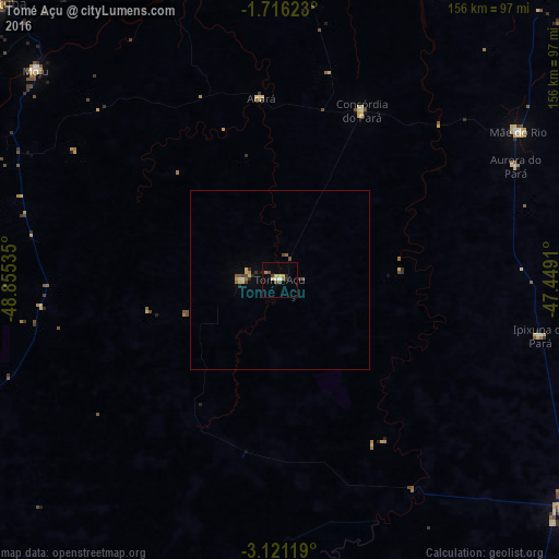
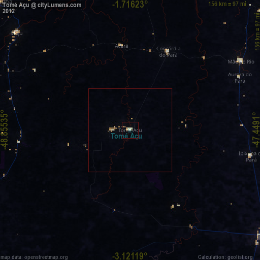
Analysis of Tomé Açu night lights 2016
Square area 10x10 km:
 0.43%
0.43%90-99
0.65%80-89
3.68%70-79
0.87%60-69
1.3%50-59
0.87%40-49
2.6%30-39
0.87%20-29
0.87%10-19
1.08%0-9
86.8%Square area 50x50 km:
0.03%90-99
0.09%80-89
0.32%70-79
0.1%60-69
0.13%50-59
0.16%40-49
0.27%30-39
0.16%20-29
0.13%10-19
0.04%0-9
98.57%Clear (daylight) street map image can be seen on geolist.org.
Map coordinates:
1° 42' 58.4" South, 48° 51' 19.3" West
2° 25' 8" South, 48° 9' 8" West
3° 7' 16.3" South, 47° 26' 56.8" West
Some cities around Tomé Açu sort by population:
• Belém
114 km =70.8 mi,  339°
339°
• Abaetetuba
112.5 km =69.9 mi,  313°
313°
• Paragominas
96.1 km =59.7 mi,  129°
129°
• Igarapé Miri
102.4 km =63.6 mi,  298°
298°
• Moju
90.7 km =56.4 mi, 310°
• Acará
51.2 km =31.8 mi,  354°
354°
• Bujaru
101.2 km =62.9 mi,  6°
6°
• Irituia
107.2 km =66.6 mi,  47°
47°
3386279 (p: 34,053)
Sources (retrieved 2019-11-25):
» Earth at Night: Flat Maps 2012, 2016