São Félix do Xingu night lights from space
Night Light of São Félix do Xingu (Pará) from space (Brazil) Src. Average luminocity for 10x10km area is 13.881% and for 50x50km: 0.6158%.
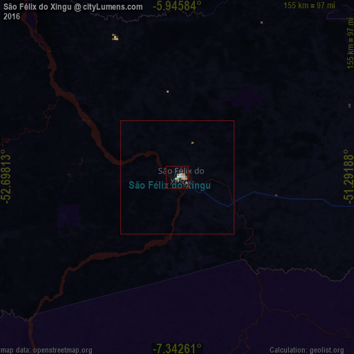
Analysis of São Félix do Xingu night lights 2016
Square area 10x10 km:
 1.52%
1.52%90-99
2.81%80-89
2.16%70-79
1.95%60-69
1.95%50-59
1.52%40-49
1.95%30-39
0.22%20-29
2.38%10-19
0.22%0-9
83.33%Square area 50x50 km:
0.06%90-99
0.11%80-89
0.09%70-79
0.08%60-69
0.08%50-59
0.09%40-49
0.09%30-39
0.01%20-29
0.1%10-19
0.01%0-9
99.3%Clear (daylight) street map image can be seen on geolist.org.
Map coordinates:
5° 56' 45" South, 52° 41' 53.3" West
6° 38' 41" South, 51° 59' 42" West
7° 20' 33.4" South, 51° 17' 30.8" West
Some cities around São Félix do Xingu sort by population:
• Parauapebas
240 km =149.1 mi,  74°
74°
• Marabá
346.3 km =215.2 mi, 66°
• Redenção
265.6 km =165 mi,  125°
125°
• Xinguara
232 km =144.2 mi,  102°
102°
• Tucumã
92.8 km =57.7 mi, 97°
• Ourilândia do Norte
101.4 km =63 mi, 96°
• Conceição do Araguaia
350.3 km =217.7 mi,  120°
120°
• Itupiranga
339.5 km =211 mi,  60°
60°
3388847 (p: 16,477)
Sources (retrieved 2019-11-25):
» Earth at Night: Flat Maps 2012, 2016