Ourilândia do Norte night lights from space
Night Light of Ourilândia do Norte (Pará) from space (Brazil) Src. Average luminocity for 10x10km area is 27.4545% and for 50x50km: 2.1894%.
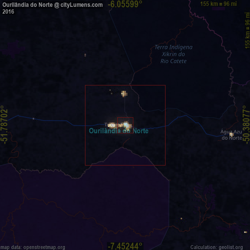
Analysis of Ourilândia do Norte night lights 2016
Square area 10x10 km:
 3.68%
3.68%90-99
1.52%80-89
2.81%70-79
3.9%60-69
4.55%50-59
6.06%40-49
4.55%30-39
4.11%20-29
4.76%10-19
31.6%0-9
32.47%Square area 50x50 km:
0.21%90-99
0.16%80-89
0.37%70-79
0.22%60-69
0.24%50-59
0.48%40-49
0.29%30-39
0.36%20-29
0.32%10-19
1.75%0-9
95.6%Clear (daylight) street map image can be seen on geolist.org.
Map coordinates:
6° 3' 21.6" South, 51° 47' 13.3" West
6° 45' 17" South, 51° 5' 2" West
7° 27' 8.8" South, 50° 22' 50.8" West
Some cities around Ourilândia do Norte sort by population:
• Parauapebas
151.3 km =94 mi,  59°
59°
• Marabá
264.3 km =164.2 mi,  54°
54°
• Redenção
183.1 km =113.8 mi,  140°
140°
• Xinguara
131.5 km =81.7 mi,  106°
106°
• Tucumã
8.6 km =5.3 mi,  275°
275°
• Conceição do Araguaia
261.1 km =162.2 mi,  130°
130°
• Itupiranga
265 km =164.7 mi, 47°
• São Félix do Xingu
101.4 km =63 mi, 276°
6317824 (p: 31,921)
Sources (retrieved 2019-11-25):
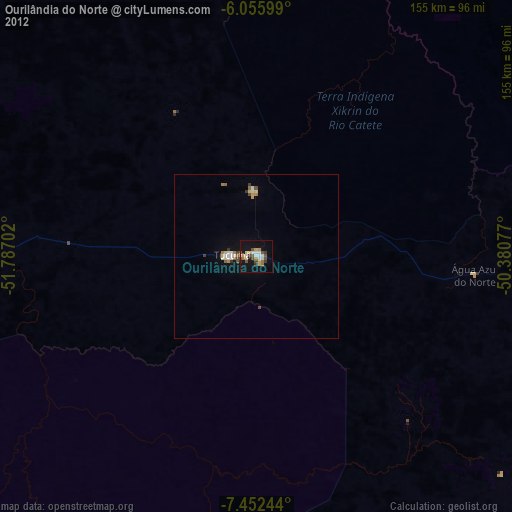
» Earth at Night: Flat Maps 2012, 2016