Santa Cruz night lights from space
Night Light of Santa Cruz (Rio Grande do Norte) from space (Brazil) Src. Average luminocity for 10x10km area is 16.0325% and for 50x50km: 1.7575%.
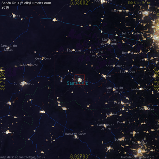
Analysis of Santa Cruz night lights 2016
Square area 10x10 km:
 1.95%
1.95%90-99
3.9%80-89
2.6%70-79
0.22%60-69
2.6%50-59
0.87%40-49
3.46%30-39
1.73%20-29
0%10-19
3.9%0-9
78.79%Square area 50x50 km:
0.1%90-99
0.36%80-89
0.17%70-79
0.16%60-69
0.33%50-59
0.21%40-49
0.29%30-39
0.54%20-29
0.04%10-19
0.31%0-9
97.49%Clear (daylight) street map image can be seen on geolist.org.
Map coordinates:
5° 31' 48.1" South, 36° 43' 33.3" West
6° 13' 46" South, 36° 1' 22" West
6° 55' 40.5" South, 35° 19' 10.8" West
Some cities around Santa Cruz sort by population:
• Cuité
31.7 km =19.7 mi,  207°
207°
• Picuí
47.5 km =29.5 mi,  228°
228°
• São José do Campestre
35.5 km =22.1 mi,  105°
105°
• São Paulo do Potengi
47 km =29.2 mi,  37°
37°
• Nova Floresta
32.1 km =19.9 mi,  218°
218°
• Tangará
24.7 km =15.3 mi,  82°
82°
• Araruna
48 km =29.8 mi,  139°
139°
• São Tomé
29.2 km =18.1 mi,  348°
348°
3389673 (p: 27,775)
Sources (retrieved 2019-11-25):
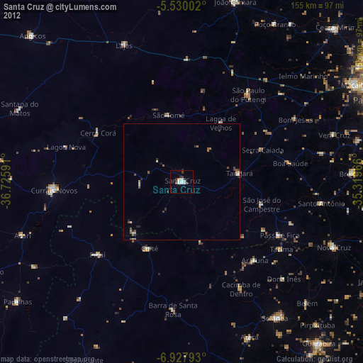
» Earth at Night: Flat Maps 2012, 2016