Monte Alegre night lights from space
Night Light of Monte Alegre (Rio Grande do Norte) from space (Brazil) Src. Average luminocity for 10x10km area is 0% and for 50x50km: 0.8154%.
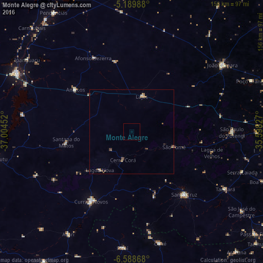
Analysis of Monte Alegre night lights 2016
Square area 10x10 km:
 0%
0%90-99
0%80-89
0%70-79
0%60-69
0%50-59
0%40-49
0%30-39
0%20-29
0%10-19
0%0-9
100%Square area 50x50 km:
0.03%90-99
0.09%80-89
0.09%70-79
0.21%60-69
0.12%50-59
0.17%40-49
0.23%30-39
0.18%20-29
0.05%10-19
0.06%0-9
98.76%Clear (daylight) street map image can be seen on geolist.org.
Map coordinates:
5° 11' 23.6" South, 37° 0' 16.3" West
5° 53' 23" South, 36° 18' 5" West
6° 35' 19.2" South, 35° 35' 53.8" West
Some cities around Monte Alegre sort by population:
• Currais Novos
47.7 km =29.6 mi,  210°
210°
• Santa Cruz
48.7 km =30.3 mi,  140°
140°
• São Paulo do Potengi
59.6 km =37 mi,  90°
90°
• Santana do Matos
39.9 km =24.8 mi,  259°
259°
• Angicos
41.5 km =25.8 mi,  306°
306°
• Afonso Bezerra
49 km =30.4 mi,  332°
332°
• São Tomé
26.6 km =16.5 mi,  110°
110°
• Lagoa Nova
30.8 km =19.1 mi,  220°
220°
3394594 (p: 6,643)
Sources (retrieved 2019-11-25):
» Earth at Night: Flat Maps 2012, 2016