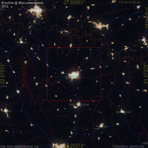
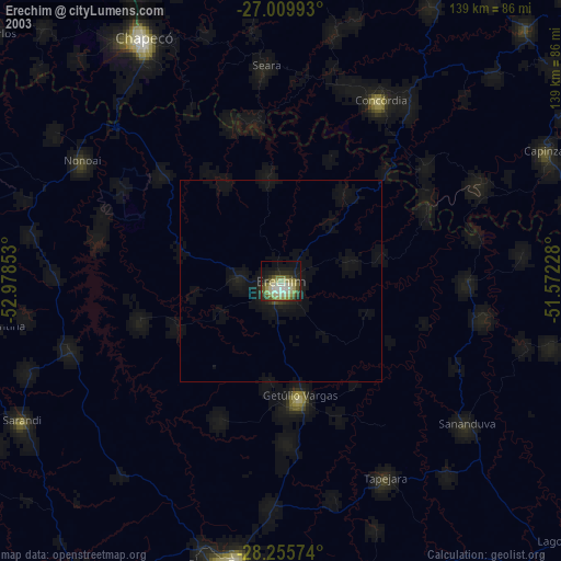
Erechim night lights from space
Night Light of Erechim (Rio Grande do Sul) from space (Brazil) Src. Average luminocity for 10x10km area is 55.2758% and for 50x50km: 3.8826%.
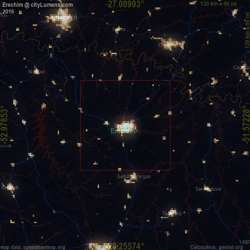

Analysis of Erechim night lights 2016
Square area 10x10 km:
 16.67%
90-99
13.49%80-89
8.13%70-79
5.95%60-69
5.36%50-59
1.39%40-49
1.19%30-39
6.75%20-29
14.09%10-19
23.81%0-9
3.17%Square area 50x50 km:
0.68%90-99
0.54%80-89
0.69%70-79
0.51%60-69
0.34%50-59
0.3%40-49
0.31%30-39
0.47%20-29
0.83%10-19
2.96%0-9
92.36%Clear (daylight) street map image can be seen on geolist.org.
Map coordinates:
27° 0' 35.7" South, 52° 58' 42.7" West
27° 38' 4.6" South, 52° 16' 31.4" West
28° 15' 20.7" South, 51° 34' 20.2" West
Some cities around Erechim sort by population:
• Passo Fundo
71 km =44.1 mi,  190°
190°
• Chapecó
68.8 km =42.8 mi,  330°
330°
• Concórdia
50.8 km =31.6 mi,  28°
28°
• Xanxerê
85.2 km =52.9 mi,  351°
351°
• Capinzal
73 km =45.4 mi,  63°
63°
• Sarandi
72.4 km =45 mi,  241°
241°
• Tapejara
54.6 km =33.9 mi,  151°
151°
• Sananduva
57.9 km =36 mi,  127°
127°
3464073 (p: 96,087)
Sources (retrieved 2019-11-25):
» NASA, Earths city lights 1995
» NASA city lights 2003
» Earth at Night: Flat Maps 2012, 2016