Conchal night lights from space
Night Light of Conchal (São Paulo) from space (Brazil) Src. Average luminocity for 10x10km area is 15.9905% and for 50x50km: 13.7689%.
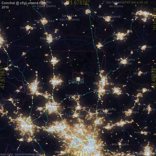
Analysis of Conchal night lights 2016
Square area 10x10 km:
 1.14%
1.14%90-99
1.89%80-89
2.65%70-79
3.6%60-69
2.84%50-59
2.46%40-49
0.95%30-39
1.52%20-29
1.14%10-19
1.33%0-9
80.49%Square area 50x50 km:
1.72%90-99
2.04%80-89
1.44%70-79
2.43%60-69
2%50-59
1.75%40-49
1.71%30-39
1.95%20-29
3.3%10-19
9.91%0-9
71.75%Clear (daylight) street map image can be seen on geolist.org.
Map coordinates:
21° 40' 42.2" South, 47° 52' 32.3" West
22° 19' 49" South, 47° 10' 21" West
22° 58' 44.9" South, 46° 28' 9.8" West
Some cities around Conchal sort by population:
• Limeira
35.1 km =21.8 mi,  222°
222°
• Mogi Guaçu
23.7 km =14.7 mi,  100°
100°
• Araras
22 km =13.7 mi,  262°
262°
• Leme
27.6 km =17.1 mi,  305°
305°
• Mogi Mirim
24.8 km =15.4 mi,  117°
117°
• Cosmópolis
35.2 km =21.9 mi,  183°
183°
• Artur Nogueira
27 km =16.8 mi, 180°
• Cordeirópolis
33.7 km =20.9 mi,  240°
240°
3465731 (p: 21,351)
Sources (retrieved 2019-11-25):
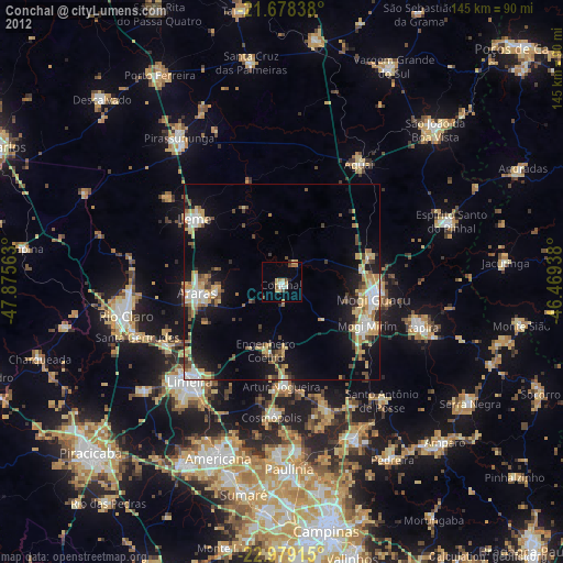
» Earth at Night: Flat Maps 2012, 2016