Carazinho night lights from space
Night Light of Carazinho (Rio Grande do Sul) from space (Brazil) Src. Average luminocity for 10x10km area is 36.9147% and for 50x50km: 2.7323%.
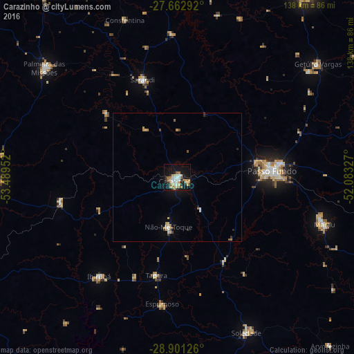
Analysis of Carazinho night lights 2016
Square area 10x10 km:
 5.36%
5.36%90-99
7.34%80-89
7.54%70-79
5.75%60-69
5.36%50-59
3.17%40-49
0%30-39
4.96%20-29
4.37%10-19
36.11%0-9
20.04%Square area 50x50 km:
0.26%90-99
0.44%80-89
0.48%70-79
0.46%60-69
0.32%50-59
0.24%40-49
0.15%30-39
0.35%20-29
0.29%10-19
2.03%0-9
94.97%Clear (daylight) street map image can be seen on geolist.org.
Map coordinates:
27° 39' 46.5" South, 53° 29' 22.3" West
28° 17' 2" South, 52° 47' 11" West
28° 54' 4.5" South, 52° 4' 59.8" West
Some cities around Carazinho sort by population:
• Passo Fundo
37.3 km =23.2 mi,  86°
86°
• Palmeira das Missões
67.1 km =41.7 mi,  309°
309°
• Marau
60.2 km =37.4 mi,  107°
107°
• Soledade
65.3 km =40.6 mi,  155°
155°
• Sarandi
40.1 km =24.9 mi,  340°
340°
• Ibirubá
48.4 km =30.1 mi,  217°
217°
• Não Me Toque
19.8 km =12.3 mi,  189°
189°
• Espumoso
49.4 km =30.7 mi, 187°
3466978 (p: 59,417)
Sources (retrieved 2019-11-25):
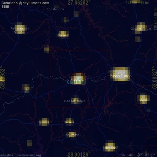
» NASA, Earths city lights 1995
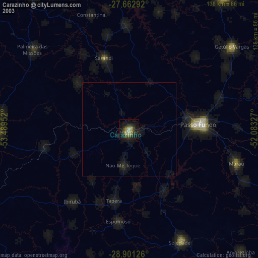
» NASA city lights 2003
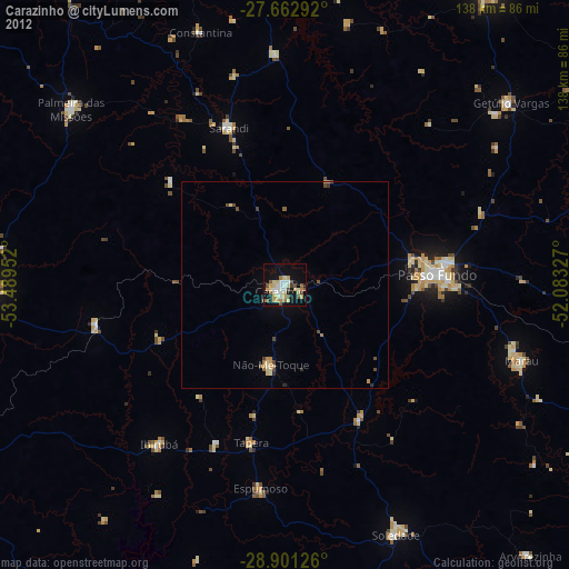
» Earth at Night: Flat Maps 2012, 2016