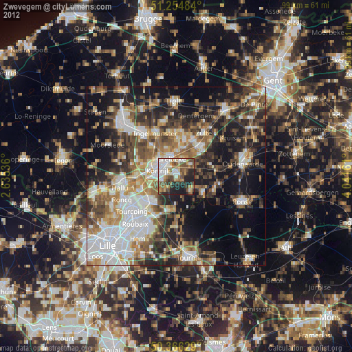
Zwevegem night lights from space
Night Light of Zwevegem (Flanders) from space (Belgium) Src. Average luminocity for 10x10km area is 59.0448% and for 50x50km: 43.4499%.
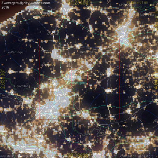
Analysis of Zwevegem night lights 2016
Square area 10x10 km:
 12.32%
90-99
14.71%80-89
6.02%70-79
6.16%60-69
5.74%50-59
12.04%40-49
10.92%30-39
7.56%20-29
15.27%10-19
9.24%0-9
0%Square area 50x50 km:
10.45%90-99
7.87%80-89
3.85%70-79
4.8%60-69
5.6%50-59
6.62%40-49
6.08%30-39
6.87%20-29
13.09%10-19
16.6%0-9
18.16%Clear (daylight) street map image can be seen on geolist.org.
Map coordinates:
51° 15' 17.4" North, 2° 38' 7.3" East
50° 48' 45.6" North, 3° 20' 18.5" East
50° 21' 58.6" North, 4° 2' 29.8" East
Some cities around Zwevegem sort by population:
• Kortrijk
5.4 km =3.4 mi,  288°
288°
• Waregem
10.5 km =6.5 mi,  36°
36°
• Harelbeke
5 km =3.1 mi,  335°
335°
• Anzegem
10.2 km =6.3 mi,  74°
74°
• Kuurne
5.8 km =3.6 mi,  317°
317°
• Deerlijk
4.7 km =2.9 mi,  13°
13°
• Avelgem
8.5 km =5.3 mi,  118°
118°
• Wielsbeke
9.9 km =6.2 mi, 11°
2783089 (p: 23,358)
Sources (retrieved 2019-11-25):
» Earth at Night: Flat Maps 2012, 2016