Deurne night lights from space
Night Light of Deurne (Flanders) from space (Belgium) Src. Average luminocity for 10x10km area is 92.7409% and for 50x50km: 46.8657%.
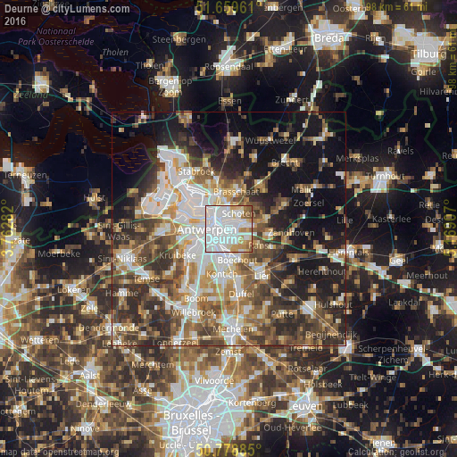
Analysis of Deurne night lights 2016
Square area 10x10 km:
 52.8%
52.8%90-99
24.37%80-89
5.6%70-79
6.86%60-69
5.46%50-59
4.62%40-49
0.28%30-39
0%20-29
0%10-19
0%0-9
0%Square area 50x50 km:
9.85%90-99
9.29%80-89
4.59%70-79
5.57%60-69
6.65%50-59
7.38%40-49
8.29%30-39
7.69%20-29
10.31%10-19
16.38%0-9
14.02%Clear (daylight) street map image can be seen on geolist.org.
Map coordinates:
51° 39' 34.6" North, 3° 45' 46.2" East
51° 13' 16.8" North, 4° 27' 57.4" East
50° 46' 43.9" North, 5° 10' 8.7" East
Some cities around Deurne sort by population:
• Antwerpen
4.4 km =2.7 mi,  267°
267°
• Schoten
4.3 km =2.7 mi,  36°
36°
• Mortsel
6.1 km =3.8 mi,  189°
189°
• Edegem
7.3 km =4.5 mi, 191°
• Boechout
7.1 km =4.4 mi,  165°
165°
• Wommelgem
4.4 km =2.7 mi,  115°
115°
• Borsbeek
3.1 km =1.9 mi,  153°
153°
• Wijnegem
3.8 km =2.4 mi,  78°
78°
2799478 (p: 78,747)
Sources (retrieved 2019-11-25):
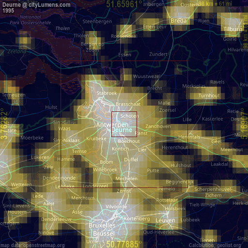
» NASA, Earths city lights 1995
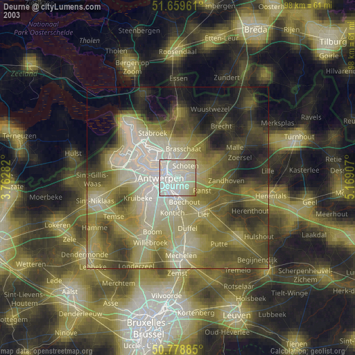
» NASA city lights 2003
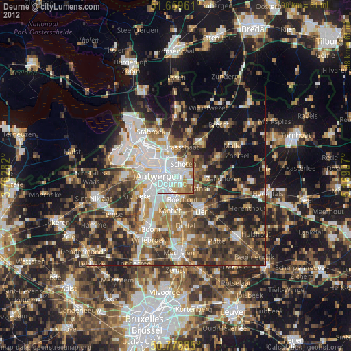
» Earth at Night: Flat Maps 2012, 2016