Oistins night lights from space
Night Light of Oistins (Christ Church) from space (Barbados) Src. Average luminocity for 10x10km area is 55.6364% and for 50x50km: 10.8955%.
Analysis of Oistins night lights 2016
Square area 10x10 km:
 8.44%
8.44%90-99
11.47%80-89
14.72%70-79
9.52%60-69
3.46%50-59
8.44%40-49
6.06%30-39
2.38%20-29
13.42%10-19
20.35%0-9
1.73%Square area 50x50 km:
1.02%90-99
1.29%80-89
2.14%70-79
2.06%60-69
0.89%50-59
1.4%40-49
2.21%30-39
2.19%20-29
3.16%10-19
6.86%0-9
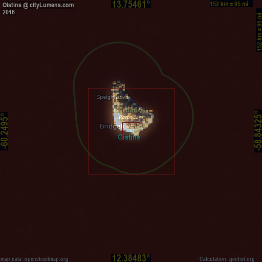
76.78%Clear (daylight) street map image can be seen on geolist.org.
Map coordinates:
13° 45' 16.6" North, 60° 14' 58.2" West
13° 4' 14.4" North, 59° 32' 46.9" West
12° 23' 5.4" North, 58° 50' 35.7" West
Some cities around Oistins sort by population:
• Bridgetown
9 km =5.6 mi,  297°
297°
• Speightstown
22.6 km =14 mi,  332°
332°
• Bathsheba
15.8 km =9.8 mi,  8°
8°
• Holetown
16.3 km =10.1 mi,  322°
322°
• Crane
11.2 km =7 mi,  70°
70°
• Greenland
21.1 km =13.1 mi,  350°
350°
• Welchman Hall
13.3 km =8.3 mi, 345°
• Four Cross Roads
11.4 km =7.1 mi, 13°
3373652 (p: 2,285)
Sources (retrieved 2019-11-25):
» Earth at Night: Flat Maps 2012, 2016