Oberá night lights from space
Night Light of Oberá (Misiones) from space (Argentina) Src. Average luminocity for 10x10km area is 47.5853% and for 50x50km: 3.9926%.
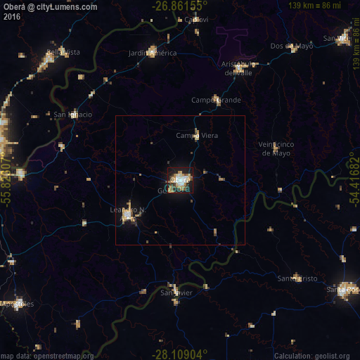
Analysis of Oberá night lights 2016
Square area 10x10 km:
 7.54%
7.54%90-99
9.72%80-89
7.14%70-79
6.55%60-69
10.71%50-59
2.98%40-49
4.76%30-39
5.36%20-29
6.94%10-19
34.92%0-9
3.37%Square area 50x50 km:
0.45%90-99
0.47%80-89
0.58%70-79
0.56%60-69
0.74%50-59
0.29%40-49
0.47%30-39
0.57%20-29
0.46%10-19
3.55%0-9
91.84%Clear (daylight) street map image can be seen on geolist.org.
Map coordinates:
26° 51' 41.6" South, 55° 49' 23.1" West
27° 29' 13.4" South, 55° 7' 11.8" West
28° 6' 32.5" South, 54° 25' 0.6" West
Some cities around Oberá sort by population:
• Campo Grande
34 km =21.1 mi,  24°
24°
• Veinticinco de Mayo
39.2 km =24.4 mi,  71°
71°
• Campo Ramón
10.4 km =6.5 mi, 69°
• Campo Viera
18.3 km =11.4 mi, 20°
• Alba Posse
44.1 km =27.4 mi,  102°
102°
• Gobernador Roca
47.7 km =29.6 mi,  314°
314°
• Panambí
33.2 km =20.6 mi,  142°
142°
• Cerro Azul
40.5 km =25.2 mi,  246°
246°
3430340 (p: 56,528)
Sources (retrieved 2019-11-25):
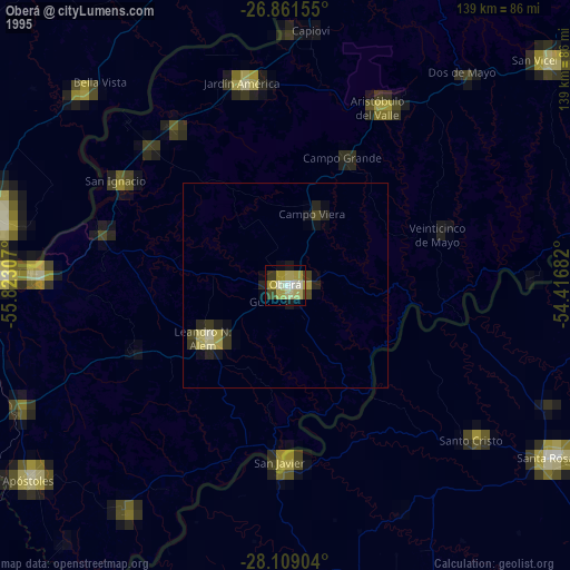
» NASA, Earths city lights 1995
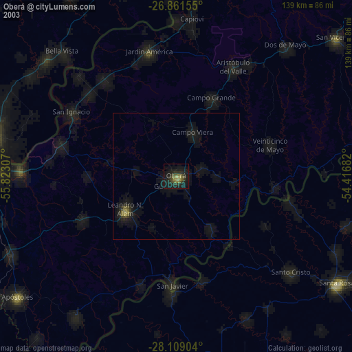
» NASA city lights 2003
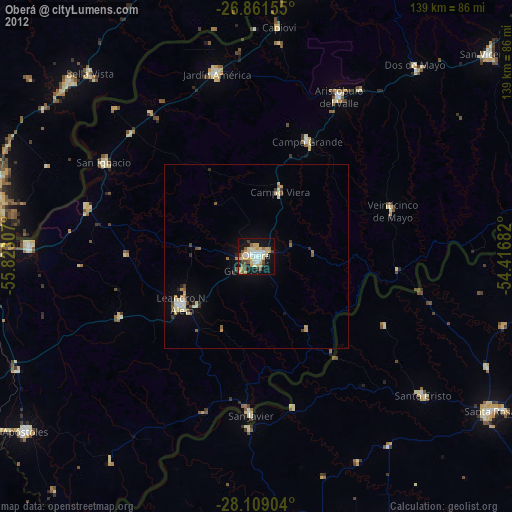
» Earth at Night: Flat Maps 2012, 2016