Step’anavan night lights from space
Night Light of Step’anavan (Lori) from space (Armenia) Src. Average luminocity for 10x10km area is 1.4592% and for 50x50km: 0.3923%.
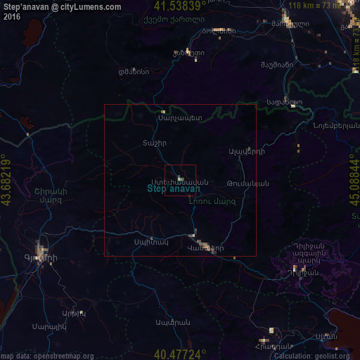
Analysis of Step’anavan night lights 2016
Square area 10x10 km:
 0%
0%90-99
0%80-89
0.68%70-79
0%60-69
0%50-59
0.17%40-49
1.19%30-39
0.68%20-29
0%10-19
0%0-9
97.28%Square area 50x50 km:
0%90-99
0%80-89
0.05%70-79
0.05%60-69
0.03%50-59
0.11%40-49
0.22%30-39
0.15%20-29
0.14%10-19
0.04%0-9
99.21%Clear (daylight) street map image can be seen on geolist.org.
Map coordinates:
41° 32' 18.2" North, 43° 40' 55.9" East
41° 0' 35.8" North, 44° 23' 7.1" East
40° 28' 38.1" North, 45° 5' 18.4" East
Some cities around Step’anavan sort by population:
• Vanadzor
24.6 km =15.3 mi,  158°
158°
• Spitak
22.1 km =13.7 mi,  206°
206°
• Dilijan
49.2 km =30.6 mi,  127°
127°
• Alaverdi
26 km =16.2 mi,  67°
67°
• Akhuryan
48.1 km =29.9 mi,  237°
237°
• Tashir
14.9 km =9.3 mi,  325°
325°
• Aparan
46.4 km =28.8 mi,  182°
182°
• Naghvarevi, GE
49.4 km =30.7 mi,  39°
39°
616194 (p: 23,782)
Sources (retrieved 2019-11-25):
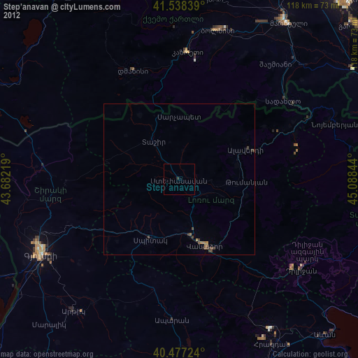
» Earth at Night: Flat Maps 2012, 2016