Taloqan night lights from space
Night Light of Taloqan (Takhar) from space (Afghanistan) Src. Average luminocity for 10x10km area is 4.8077% and for 50x50km: 0.191%.
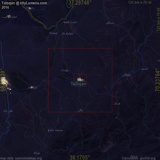

Analysis of Taloqan night lights 2016
Square area 10x10 km:
 0%
0%90-99
0%80-89
0%70-79
0%60-69
1.4%50-59
3.15%40-49
2.45%30-39
0.52%20-29
0.17%10-19
0.87%0-9
91.43%Square area 50x50 km:
0%90-99
0%80-89
0%70-79
0%60-69
0.06%50-59
0.12%40-49
0.1%30-39
0.02%20-29
0.01%10-19
0.03%0-9
99.66%Clear (daylight) street map image can be seen on geolist.org.
Map coordinates:
37° 17' 50.9" North, 68° 49' 53" East
36° 44' 9.8" North, 69° 32' 4.2" East
36° 10' 13.8" North, 70° 14' 15.5" East
Some cities around Taloqan sort by population:
• Kunduz
60.4 km =37.5 mi,  269°
269°
• Khanabad
37.8 km =23.5 mi,  260°
260°
• Rustāq
50.7 km =31.5 mi,  31°
31°
• Ārt Khwājah
39.2 km =24.4 mi,  352°
352°
• Farkhār
34.1 km =21.2 mi,  122°
122°
• Imām Şāḩib
73.2 km =45.5 mi,  313°
313°
• Dasht-e Archī
55 km =34.2 mi,  323°
323°
• Panj, TJ
67.7 km =42.1 mi,  325°
325°
1123004 (p: 64,256)
Sources (retrieved 2019-11-25):
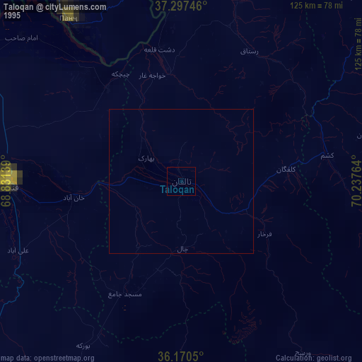
» NASA, Earths city lights 1995
» NASA city lights 2003
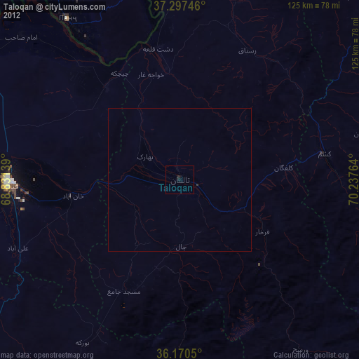
» Earth at Night: Flat Maps 2012, 2016