Hagerstown night lights from space
Night Light of Hagerstown (Maryland) from space (United States) Src. Average luminocity for 10x10km area is 74.6234% and for 50x50km: 16.6876%.
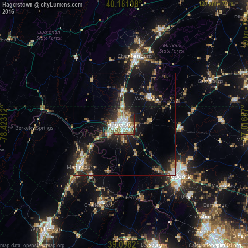
Analysis of Hagerstown night lights 2016
Square area 10x10 km:
 22.73%
90-99
20.45%80-89
9.09%70-79
6.49%60-69
10.06%50-59
9.74%40-49
9.25%30-39
6.49%20-29
5.52%10-19
0.16%0-9
0%Square area 50x50 km:
2.16%90-99
2.05%80-89
2.29%70-79
1.86%60-69
1.87%50-59
2.57%40-49
2.35%30-39
3.31%20-29
5.32%10-19
11.63%0-9
64.59%Clear (daylight) street map image can be seen on geolist.org.
Map coordinates:
40° 10' 51.9" North, 78° 25' 23.2" West
39° 38' 30.3" North, 77° 43' 12" West
39° 5' 53.5" North, 77° 1' 0.7" West
Some cities around Hagerstown sort by population:
• Chambersburg
33.3 km =20.7 mi,  8°
8°
• Martinsburg
29.4 km =18.3 mi,  225°
225°
• Waynesboro
17.6 km =10.9 mi,  43°
43°
• Halfway
4.1 km =2.5 mi, 234°
• Robinwood
5.4 km =3.4 mi,  95°
95°
• Thurmont
26.6 km =16.5 mi,  94°
94°
• Walkersville
36 km =22.4 mi,  118°
118°
• Fountainhead-Orchard Hills
5 km =3.1 mi,  0°
0°
4357141 (p: 40,432)
Sources (retrieved 2019-11-25):
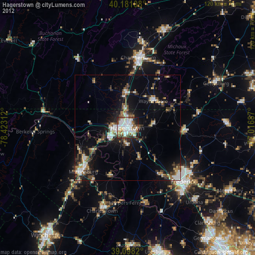
» Earth at Night: Flat Maps 2012, 2016