Zorya night lights from space
Night Light of Zorya (Odesa) from space (Ukraine) Src. Average luminocity for 10x10km area is 4.5781% and for 50x50km: 0.4216%.
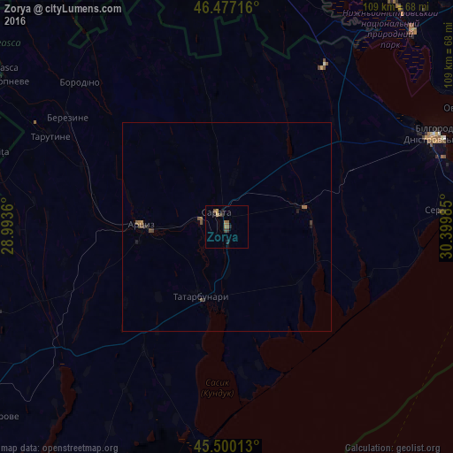
Analysis of Zorya night lights 2016
Square area 10x10 km:
 0%
0%90-99
0%80-89
0.71%70-79
0.43%60-69
0.99%50-59
1.56%40-49
0.85%30-39
1.7%20-29
1.56%10-19
0.99%0-9
91.19%Square area 50x50 km:
0%90-99
0%80-89
0.03%70-79
0.04%60-69
0.09%50-59
0.14%40-49
0.18%30-39
0.11%20-29
0.15%10-19
0.1%0-9
99.16%Clear (daylight) street map image can be seen on geolist.org.
Map coordinates:
46° 28' 37.8" North, 28° 59' 37" East
45° 59' 26.9" North, 29° 41' 48.2" East
45° 30' 0.5" North, 30° 23' 59.5" East
Some cities around Zorya sort by population:
• Bilhorod-Dnistrovskyi
55.2 km =34.3 mi,  65°
65°
• Artsyz
21.5 km =13.4 mi,  270°
270°
• Tatarbunary
18.2 km =11.3 mi,  200°
200°
• Tarutyne
47.3 km =29.4 mi,  297°
297°
• Starokozache
44.5 km =27.7 mi,  29°
29°
• Serhiyivka
52.7 km =32.7 mi,  85°
85°
• Plakhtiyivka
12.4 km =7.7 mi,  8°
8°
• Sarata
4 km =2.5 mi,  323°
323°
687602 (p: 5,243)
Sources (retrieved 2019-11-25):
» Earth at Night: Flat Maps 2012, 2016