Dubove night lights from space
Night Light of Dubove (Transcarpathia) from space (Ukraine) Src. Average luminocity for 10x10km area is 0% and for 50x50km: 0.0933%.
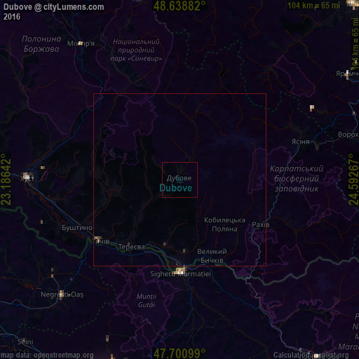
Analysis of Dubove night lights 2016
Square area 10x10 km:
 0%
0%90-99
0%80-89
0%70-79
0%60-69
0%50-59
0%40-49
0%30-39
0%20-29
0%10-19
0%0-9
100%Square area 50x50 km:
0%90-99
0%80-89
0%70-79
0%60-69
0%50-59
0.05%40-49
0.02%30-39
0.07%20-29
0.04%10-19
0.02%0-9
99.79%Clear (daylight) street map image can be seen on geolist.org.
Map coordinates:
48° 38' 19.8" North, 23° 11' 11.1" East
48° 10' 19.4" North, 23° 53' 22.3" East
47° 42' 3.6" North, 24° 35' 33.6" East
Some cities around Dubove sort by population:
• Sighetu Marmaţiei, RO
26.7 km =16.6 mi,  180°
180°
• Rakhiv
26.7 km =16.6 mi,  119°
119°
• Tyachiv
29.6 km =18.4 mi,  233°
233°
• Solotvyno
25.2 km =15.7 mi, 183°
• Bushtyno
32.8 km =20.4 mi,  245°
245°
• Yasinya
36.9 km =22.9 mi,  71°
71°
• Kalyny
3.7 km =2.3 mi,  198°
198°
• Serednye Vodyane
21.2 km =13.2 mi, 175°
709516 (p: 8,902)
Sources (retrieved 2019-11-25):
» Earth at Night: Flat Maps 2012, 2016