Debal’tseve night lights from space
Night Light of Debal’tseve (Donetsk) from space (Ukraine) Src. Average luminocity for 10x10km area is 1.8338% and for 50x50km: 1.582%.
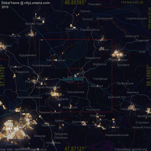
Analysis of Debal’tseve night lights 2016
Square area 10x10 km:
 0%
0%90-99
0%80-89
0%70-79
0%60-69
0.57%50-59
1.14%40-49
0.57%30-39
0.14%20-29
0.99%10-19
0.57%0-9
96.02%Square area 50x50 km:
0.04%90-99
0.1%80-89
0.23%70-79
0.15%60-69
0.21%50-59
0.31%40-49
0.42%30-39
0.45%20-29
0.42%10-19
0.74%0-9
96.92%Clear (daylight) street map image can be seen on geolist.org.
Map coordinates:
48° 48' 21.4" North, 37° 42' 6.4" East
48° 20' 26.6" North, 38° 24' 17.6" East
47° 52' 16.4" North, 39° 6' 28.9" East
Some cities around Debal’tseve sort by population:
• Horlivka
26 km =16.2 mi,  268°
268°
• Yenakiyeve
18.6 km =11.6 mi,  230°
230°
• Bryanka
27.3 km =17 mi,  46°
46°
• Svetlodarsk
16.9 km =10.5 mi,  307°
307°
• Vuhlehirs’k
10.1 km =6.3 mi,  253°
253°
• Chornukhyne
8.9 km =5.5 mi,  102°
102°
• Artemivs’k
26.6 km =16.5 mi,  65°
65°
• Zoryns’k
18 km =11.2 mi,  63°
63°
710229 (p: 30,200)
Sources (retrieved 2019-11-25):
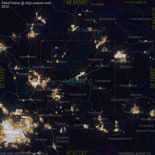
» Earth at Night: Flat Maps 2012, 2016