Nyakahanga night lights from space
Night Light of Nyakahanga (Kagera) from space (Tanzania) Src. Average luminocity for 10x10km area is 0.3593% and for 50x50km: 0.0234%.
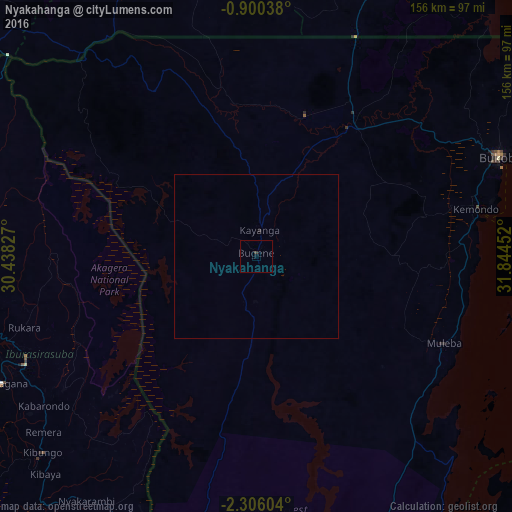
Analysis of Nyakahanga night lights 2016
Square area 10x10 km:
 0%
0%90-99
0%80-89
0%70-79
0%60-69
0%50-59
0%40-49
0%30-39
0.87%20-29
0%10-19
0%0-9
99.13%Square area 50x50 km:
0%90-99
0%80-89
0%70-79
0%60-69
0%50-59
0%40-49
0%30-39
0.03%20-29
0.03%10-19
0%0-9
99.93%Clear (daylight) street map image can be seen on geolist.org.
Map coordinates:
0° 54' 1.4" South, 30° 26' 17.8" East
1° 36' 12" South, 31° 8' 29" East
2° 18' 21.7" South, 31° 50' 40.3" East
Some cities around Nyakahanga sort by population:
• Nsunga
58.3 km =36.2 mi,  28°
28°
• Nshamba
50.4 km =31.3 mi,  115°
115°
• Katerero
69.6 km =43.2 mi,  71°
71°
• Kamachumu
53.2 km =33.1 mi,  91°
91°
• Kyaka
49.9 km =31 mi,  38°
38°
• Katoro
45.9 km =28.5 mi,  60°
60°
• Muleba
62.8 km =39 mi,  114°
114°
• Bugene
1.4 km =0.9 mi,  354°
354°
151262 (p: 14,611)
Sources (retrieved 2019-11-25):
» Earth at Night: Flat Maps 2012, 2016