Mazinde night lights from space
Night Light of Mazinde (Tanga) from space (Tanzania) Src. Average luminocity for 10x10km area is 0.2872% and for 50x50km: 0.1614%.
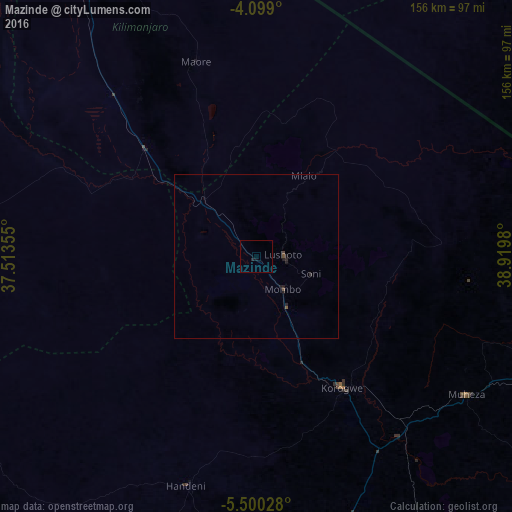
Analysis of Mazinde night lights 2016
Square area 10x10 km:
100  0%
0%
90-99 0%
80-89 0%
70-79 0%
60-69 0%
50-59 0%
40-49 0%
30-39 0%
20-29 0.83%
10-19 0.21%
0-9 98.97%
0%90-99
0%80-89
0%70-79
0%60-69
0%50-59
0%40-49
0%30-39
0%20-29
0.83%10-19
0.21%0-9
98.97%Square area 50x50 km:
100 0%
90-99 0%
80-89 0%
70-79 0%
60-69 0%
50-59 0.03%
40-49 0.1%
30-39 0%
20-29 0.21%
10-19 0.14%
0-9 99.51%
0%90-99
0%80-89
0%70-79
0%60-69
0%50-59
0.03%40-49
0.1%30-39
0%20-29
0.21%10-19
0.14%0-9
99.51%Clear (daylight) street map image can be seen on geolist.org.
Map coordinates:
4° 5' 56.4" South, 37° 30' 48.8" East
4° 48' 0" South, 38° 13' 0" East
5° 30' 1" South, 38° 55' 11.3" East
Some cities around Mazinde sort by population:
• Lushoto
7.6 km =4.7 mi,  75°
75°
• Matui
3.7 km =2.3 mi,  90°
90°
• Hedaru
48.4 km =30.1 mi,  313°
313°
• Makuyuni
14.9 km =9.3 mi,  299°
299°
• Mwanga
1.8 km =1.1 mi,  270°
270°
• Soni
17.5 km =10.9 mi,  108°
108°
• Magomeni
49.4 km =30.7 mi,  192°
192°
• Kihurio
40.6 km =25.2 mi,  335°
335°
154470 (p: 20,534)
Sources (retrieved 2019-11-25):
» Earth at Night: Flat Maps 2012, 2016