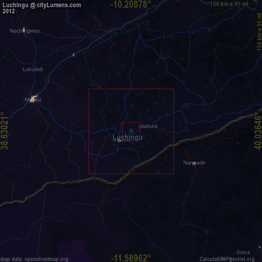
Luchingu night lights from space
Night Light of Luchingu (Mtwara) from space (Tanzania) Src. Average luminocity for 10x10km area is 0.0022% and for 50x50km: 0.0266%.
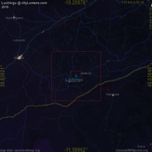
Analysis of Luchingu night lights 2016
Square area 10x10 km:
 0%
0%90-99
0%80-89
0%70-79
0%60-69
0%50-59
0%40-49
0%30-39
0%20-29
0%10-19
0%0-9
100%Square area 50x50 km:
0%90-99
0%80-89
0%70-79
0%60-69
0%50-59
0%40-49
0.03%30-39
0%20-29
0.03%10-19
0%0-9
99.93%Clear (daylight) street map image can be seen on geolist.org.
Map coordinates:
10° 12' 31.6" South, 38° 37' 48.8" East
10° 54' 0" South, 39° 19' 60" East
11° 35' 22.6" South, 40° 2' 11.3" East
Some cities around Luchingu sort by population:
• Newala Kisimani
7.8 km =4.8 mi,  224°
224°
• Tandahimba
36.8 km =22.9 mi,  63°
63°
• Mahuta
13.3 km =8.3 mi,  73°
73°
• Nanhyanga
26.1 km =16.2 mi, 64°
• Namikupa
30 km =18.6 mi,  75°
75°
• Namalenga
26.1 km =16.2 mi,  257°
257°
• Kitangari
27.8 km =17.3 mi,  0°
0°
• Lulindi
23.7 km =14.7 mi,  292°
292°
878223 (p: 25,145)
Sources (retrieved 2019-11-25):
» Earth at Night: Flat Maps 2012, 2016