Yeniçağa night lights from space
Night Light of Yeniçağa (Bolu) from space (Turkey) Src. Average luminocity for 10x10km area is 9.7159% and for 50x50km: 2.3735%.
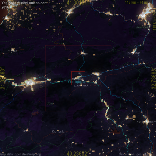
Analysis of Yeniçağa night lights 2016
Square area 10x10 km:
 0.49%
0.49%90-99
1.14%80-89
2.27%70-79
0.65%60-69
0.97%50-59
2.44%40-49
1.3%30-39
2.44%20-29
1.3%10-19
0%0-9
87.01%Square area 50x50 km:
0.08%90-99
0.36%80-89
0.39%70-79
0.34%60-69
0.32%50-59
0.41%40-49
0.26%30-39
0.42%20-29
0.33%10-19
0.28%0-9
96.81%Clear (daylight) street map image can be seen on geolist.org.
Map coordinates:
41° 18' 5.4" North, 31° 19' 50.3" East
40° 46' 16.1" North, 32° 2' 1.5" East
40° 14' 11.5" North, 32° 44' 12.8" East
Some cities around Yeniçağa sort by population:
• Bolu
36.2 km =22.5 mi,  263°
263°
• Gerede
14.1 km =8.8 mi,  76°
76°
• Devrek
50.2 km =31.2 mi,  352°
352°
• Kızılcahamam
61.9 km =38.5 mi,  122°
122°
• Çamlıdere
48.6 km =30.2 mi,  130°
130°
• Gökçebey
60.1 km =37.3 mi,  8°
8°
• Gözyeri
44 km =27.3 mi, 76°
• Güdül
64.9 km =40.3 mi,  163°
163°
737756 (p: 6,852)
Sources (retrieved 2019-11-25):
» Earth at Night: Flat Maps 2012, 2016