Vakfıkebir night lights from space
Night Light of Vakfıkebir (Trabzon) from space (Turkey) Src. Average luminocity for 10x10km area is 16.5748% and for 50x50km: 4.7678%.
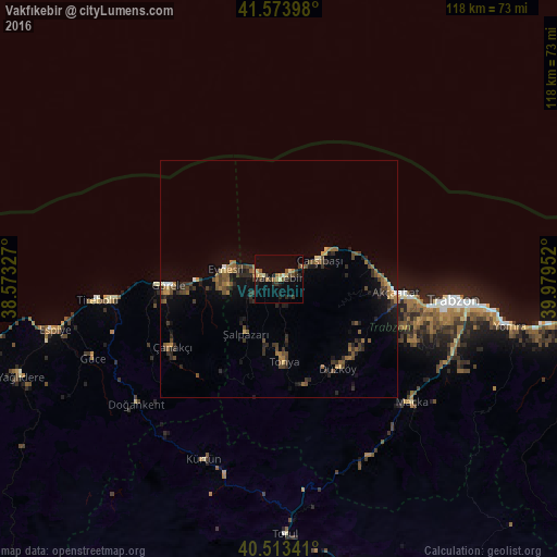
Analysis of Vakfıkebir night lights 2016
Square area 10x10 km:
 0%
0%90-99
1.87%80-89
2.55%70-79
1.53%60-69
3.57%50-59
1.36%40-49
3.4%30-39
3.06%20-29
5.44%10-19
5.27%0-9
71.94%Square area 50x50 km:
0.09%90-99
0.18%80-89
0.41%70-79
0.38%60-69
1.1%50-59
0.9%40-49
1.2%30-39
1.12%20-29
1.67%10-19
2.58%0-9
90.37%Clear (daylight) street map image can be seen on geolist.org.
Map coordinates:
41° 34' 26.3" North, 38° 34' 23.8" East
41° 2' 45" North, 39° 16' 35" East
40° 30' 48.3" North, 39° 58' 46.3" East
Some cities around Vakfıkebir sort by population:
• Akçaabat
24.9 km =15.5 mi,  96°
96°
• Beşikdüzü
3.7 km =2.3 mi,  280°
280°
• Görele
23 km =14.3 mi,  265°
265°
• Tonya
18 km =11.2 mi,  177°
177°
• Eynesil
11.4 km =7.1 mi, 280°
• Maçka
38 km =23.6 mi,  133°
133°
• Şalpazarı
14 km =8.7 mi,  211°
211°
• Düzköy
22.3 km =13.9 mi,  148°
148°
738228 (p: 37,728)
Sources (retrieved 2019-11-25):
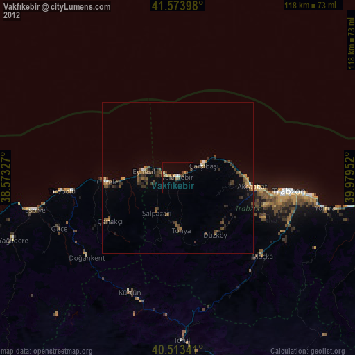
» Earth at Night: Flat Maps 2012, 2016