Koyulhisar night lights from space
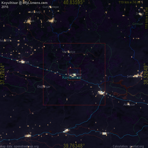
Night Light of Koyulhisar (Sivas) from space (Turkey) Src. Average luminocity for 10x10km area is 6.631% and for 50x50km: 1.3243%.
Analysis of Koyulhisar night lights 2016
Square area 10x10 km:
 0%
0%90-99
1.02%80-89
1.02%70-79
0.68%60-69
2.04%50-59
1.87%40-49
0.85%30-39
0%20-29
1.36%10-19
0.34%0-9
90.82%Square area 50x50 km:
0.06%90-99
0.22%80-89
0.1%70-79
0.14%60-69
0.28%50-59
0.14%40-49
0.24%30-39
0.36%20-29
0.37%10-19
0.33%0-9
97.76%Clear (daylight) street map image can be seen on geolist.org.
Map coordinates:
40° 50' 9.4" North, 37° 7' 12.9" East
40° 18' 6.6" North, 37° 49' 24.1" East
39° 45' 48.5" North, 38° 31' 35.4" East
Some cities around Koyulhisar sort by population:
• Şebin Karahisar
50.9 km =31.6 mi,  91°
91°
• Suşehri
27.2 km =16.9 mi,  125°
125°
• Gürgentepe
57.3 km =35.6 mi,  339°
339°
• Zara
45.3 km =28.1 mi,  187°
187°
• Aksu
29.6 km =18.4 mi,  142°
142°
• Kabataş
59 km =36.7 mi,  327°
327°
• İmranlı
53.5 km =33.2 mi,  152°
152°
• Mesudiye
17.5 km =10.9 mi,  346°
346°
742499 (p: 5,495)
Sources (retrieved 2019-11-25):
» Earth at Night: Flat Maps 2012, 2016