Keskin night lights from space
Night Light of Keskin (Kırıkkale) from space (Turkey) Src. Average luminocity for 10x10km area is 13.6364% and for 50x50km: 7.8123%.
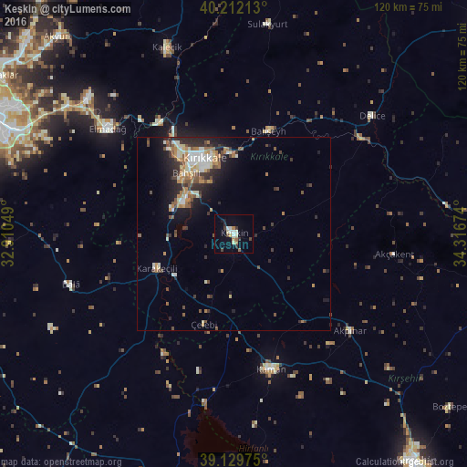

Analysis of Keskin night lights 2016
Square area 10x10 km:
 1.3%
1.3%90-99
3.25%80-89
1.3%70-79
0.81%60-69
2.44%50-59
0.65%40-49
2.11%30-39
2.6%20-29
0.81%10-19
2.11%0-9
82.63%Square area 50x50 km:
0.72%90-99
1.53%80-89
0.77%70-79
0.97%60-69
1.36%50-59
1.04%40-49
1.26%30-39
1.32%20-29
2.26%10-19
3.78%0-9
84.99%Clear (daylight) street map image can be seen on geolist.org.
Map coordinates:
40° 12' 43.7" North, 32° 54' 37.8" East
39° 40' 23" North, 33° 36' 49" East
39° 7' 47.1" North, 34° 19' 0.3" East
Some cities around Keskin sort by population:
• Kırıkkale
21.2 km =13.2 mi,  334°
334°
• Kaman
36.3 km =22.6 mi,  164°
164°
• Elmadağ
42.8 km =26.6 mi,  310°
310°
• Kalecik
50.3 km =31.3 mi,  339°
339°
• Delice
47 km =29.2 mi,  48°
48°
• Akyurt
68.3 km =42.4 mi,  318°
318°
• Karakeçili
22 km =13.7 mi,  246°
246°
• Sulakyurt
54.5 km =33.9 mi,  9°
9°
308024 (p: 49,679)
Sources (retrieved 2019-11-25):
» NASA, Earths city lights 1995
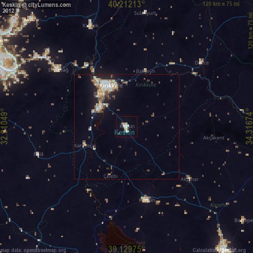
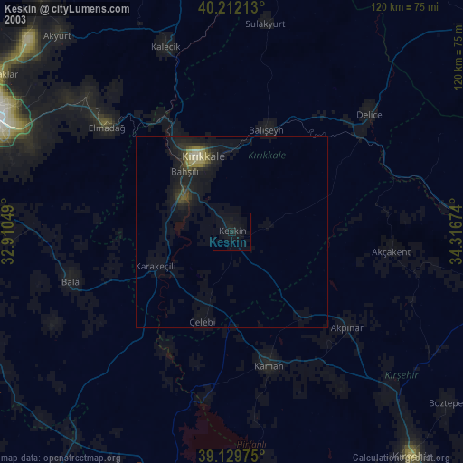
» NASA city lights 2003
» Earth at Night: Flat Maps 2012, 2016