Kastamonu night lights from space
Night Light of Kastamonu from space (Turkey) Src. Average luminocity for 10x10km area is 33.7823% and for 50x50km: 2.7919%.
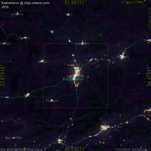
Analysis of Kastamonu night lights 2016
Square area 10x10 km:
 7.65%
7.65%90-99
7.14%80-89
3.57%70-79
2.55%60-69
4.59%50-59
1.7%40-49
1.7%30-39
1.02%20-29
10.71%10-19
39.46%0-9
19.9%Square area 50x50 km:
0.45%90-99
0.43%80-89
0.24%70-79
0.23%60-69
0.36%50-59
0.24%40-49
0.42%30-39
0.36%20-29
0.75%10-19
2.6%0-9
93.93%Clear (daylight) street map image can be seen on geolist.org.
Map coordinates:
41° 54' 12.6" North, 33° 4' 19.8" East
41° 22' 41" North, 33° 46' 31" East
40° 50' 53.9" North, 34° 28' 42.3" East
Some cities around Kastamonu sort by population:
• Tosya
46 km =28.6 mi,  151°
151°
• Taşköprü
39.4 km =24.5 mi,  68°
68°
• Ilgaz
51.9 km =32.2 mi,  193°
193°
• İnebolu
66.4 km =41.3 mi,  358°
358°
• Devrekani
25.6 km =15.9 mi,  12°
12°
• Bozkurt
67.4 km =41.9 mi,  16°
16°
• Araç
40.3 km =25 mi,  248°
248°
• Daday
28.1 km =17.5 mi,  293°
293°
743882 (p: 70,402)
Sources (retrieved 2019-11-25):
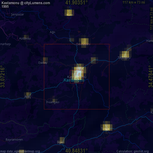
» NASA, Earths city lights 1995
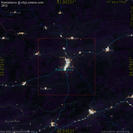
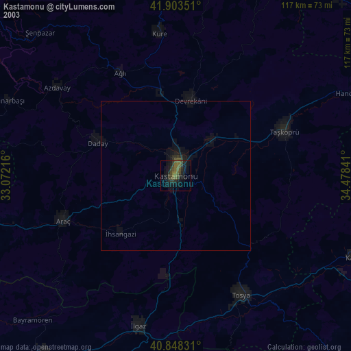
» NASA city lights 2003
» Earth at Night: Flat Maps 2012, 2016