ÄḞzmir night lights from space
Night Light of ÄḞzmir from space (Turkey) Src. Average luminocity for 10x10km area is 92.1802% and for 50x50km: 39.9285%.
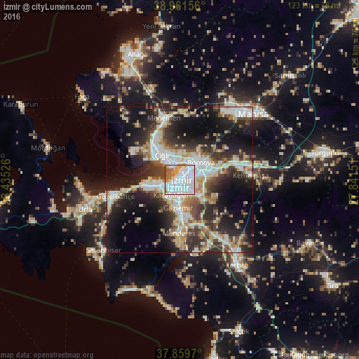
Analysis of ÄḞzmir night lights 2016
Square area 10x10 km:
 58.12%
90-99
17.86%80-89
6.49%70-79
5.03%60-69
5.68%50-59
6.49%40-49
0.32%30-39
0%20-29
0%10-19
0%0-9
0%Square area 50x50 km:
8.49%90-99
9.21%80-89
4.48%70-79
4.31%60-69
4.18%50-59
3.79%40-49
5.15%30-39
7.05%20-29
11.05%10-19
17.45%0-9
24.85%Clear (daylight) street map image can be seen on geolist.org.
Map coordinates:
38° 57' 41.6" North, 26° 26' 6.9" East
38° 24' 45.8" North, 27° 8' 18.2" East
37° 51' 34.9" North, 27° 50' 29.4" East
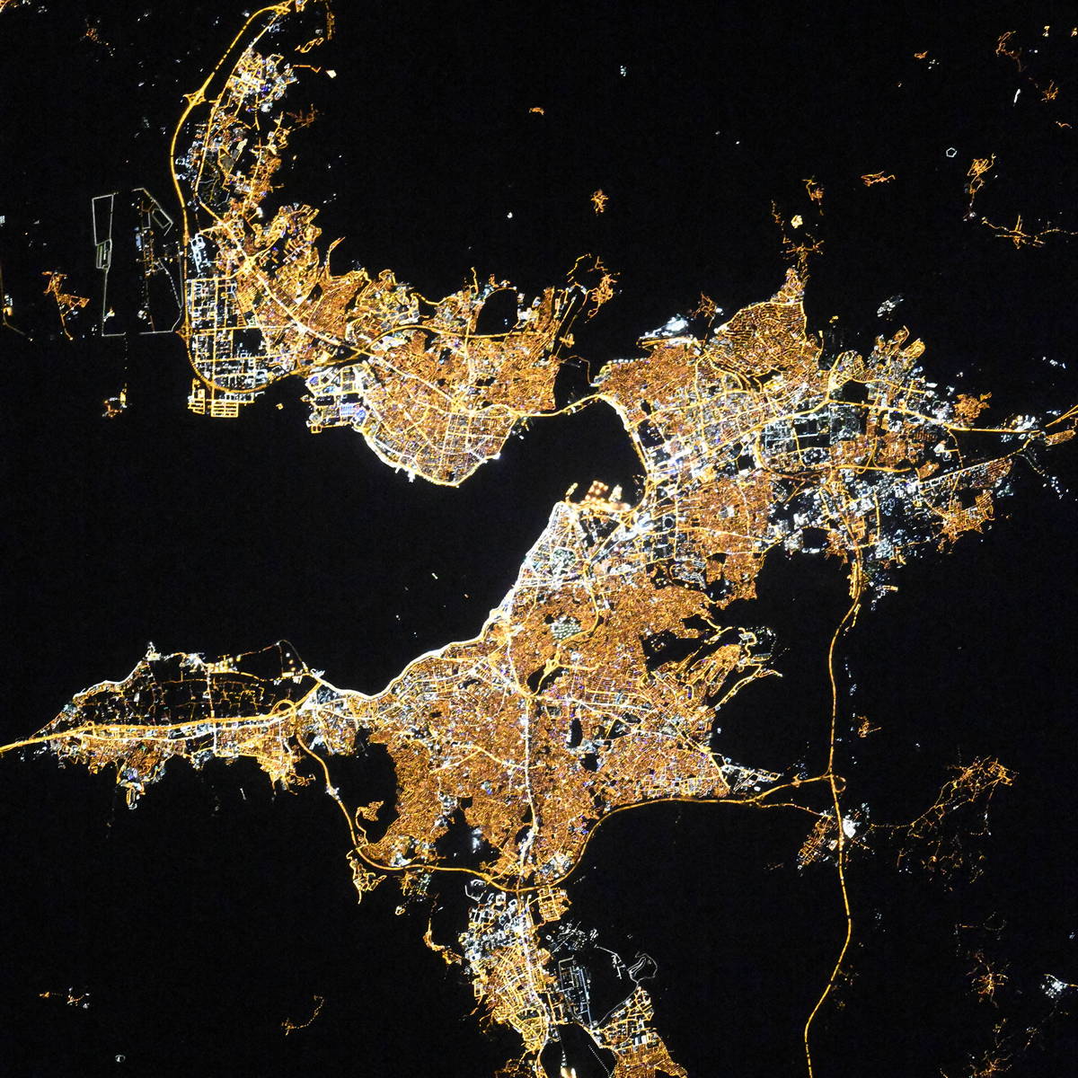
Fantastic image of ÄḞzmir from space taken by astronauts [src2], but I don't have information about it's orientation, scale or angle. If necessary, it was rotated manually, so North points approximately to upper direction. Click to zoom in:
Some cities around ÄḞzmir sort by population:
• KarabaÄlar
4.3 km =2.7 mi,  183°
183°
• Manisa
33.5 km =20.8 mi,  48°
48°
• Menemen
22.5 km =14 mi,  344°
344°
• TorbalÄḟ
35 km =21.7 mi,  146°
146°
• Urla
34.1 km =21.2 mi,  252°
252°
• KemalpaÅa
24.3 km =15.1 mi,  86°
86°
• Menderes
18.1 km =11.2 mi, 181°
• Seferihisar
35.4 km =22 mi,  227°
227°
311046 (p: 2,500,603)
Sources (retrieved 2019-11-25):
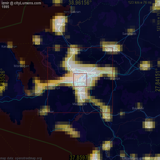
» NASA, Earths city lights 1995
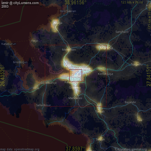
» NASA city lights 2003
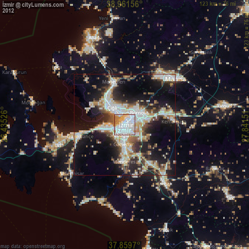
» Earth at Night: Flat Maps 2012, 2016
Src.2: picture by Oleg Kononenko, Roscosmos, retrieved 2019-11-29