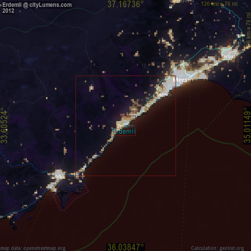
Erdemli night lights from space
Night Light of Erdemli (Mersin) from space (Turkey) Src. Average luminocity for 10x10km area is 47.8095% and for 50x50km: 11.5755%.

Analysis of Erdemli night lights 2016
Square area 10x10 km:
 1.28%
1.28%90-99
17.4%80-89
11.36%70-79
9.89%60-69
2.01%50-59
4.21%40-49
2.2%30-39
3.66%20-29
15.2%10-19
23.63%0-9
9.16%Square area 50x50 km:
0.93%90-99
2.15%80-89
1.63%70-79
2.06%60-69
0.92%50-59
1.49%40-49
2.08%30-39
2.1%20-29
3.38%10-19
7.25%0-9
76.02%Clear (daylight) street map image can be seen on geolist.org.
Map coordinates:
37° 10' 2.5" North, 33° 36' 18.9" East
36° 36' 17.9" North, 34° 18' 30.1" East
36° 2' 18.5" North, 35° 0' 41.4" East
Some cities around Erdemli sort by population:
• Mersin
37.4 km =23.2 mi,  52°
52°
• Tarsus
62.6 km =38.9 mi,  56°
56°
• Silifke
41.9 km =26 mi,  232°
232°
• Mut
77.7 km =48.3 mi,  273°
273°
• Gülnar
86.4 km =53.7 mi,  250°
250°
• Pınarbaşı
12 km =7.5 mi,  23°
23°
• Kocahasanlı
3.9 km =2.4 mi, 233°
• İnönü
92.6 km =57.5 mi,  328°
328°
315515 (p: 46,570)
Sources (retrieved 2019-11-25):
» Earth at Night: Flat Maps 2012, 2016