Atafu Village night lights from space
Night Light of Atafu Village (Atafu) from space (Tokelau) Src. Average luminocity for 10x10km area is 0% and for 50x50km: 0%.
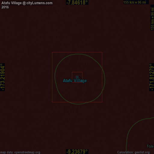
Analysis of Atafu Village night lights 2016
Square area 10x10 km:
 0%
0%90-99
0%80-89
0%70-79
0%60-69
0%50-59
0%40-49
0%30-39
0%20-29
0%10-19
0%0-9
100%Square area 50x50 km:
0%90-99
0%80-89
0%70-79
0%60-69
0%50-59
0%40-49
0%30-39
0%20-29
0%10-19
0%0-9
100%Clear (daylight) street map image can be seen on geolist.org.
Map coordinates:
7° 50' 46.2" South, 173° 13' 8.5" West
8° 32' 31.6" South, 172° 30' 57.3" West
9° 14' 12.4" South, 171° 48' 46" West
Some cities around Atafu Village sort by population:
• Asau, WS
553.6 km =344 mi,  181°
181°
• Safotu, WS
546 km =339.3 mi, 178°
• Vailoa, WS
580.1 km =360.5 mi, 177°
• Nukunonu
103.6 km =64.4 mi,  134°
134°
• Fale old settlement
168 km =104.4 mi,  123°
123°
• Taulaga, AS
320.2 km =199 mi,  150°
150°
• Satupa‘itea, WS
581.2 km =361.1 mi, 177°
• Safotulafai, WS
571.5 km =355.1 mi, 176°
7522183 (p: 524)
Sources (retrieved 2019-11-25):
» Earth at Night: Flat Maps 2012, 2016