Kafranbel night lights from space
Night Light of Kafranbel (Idlib) from space (Syria) Src. Average luminocity for 10x10km area is 0% and for 50x50km: 0.6054%.
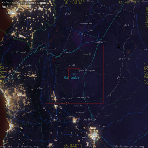
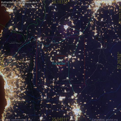
Analysis of Kafranbel night lights 2016
Square area 10x10 km:
 0%
0%90-99
0%80-89
0%70-79
0%60-69
0%50-59
0%40-49
0%30-39
0%20-29
0%10-19
0%0-9
100%Square area 50x50 km:
0%90-99
0.03%80-89
0.11%70-79
0.07%60-69
0.1%50-59
0.13%40-49
0.08%30-39
0.2%20-29
0.15%10-19
0.06%0-9
99.07%Clear (daylight) street map image can be seen on geolist.org.
Map coordinates:
36° 10' 60" North, 35° 51' 40.9" East
35° 36' 49.5" North, 36° 33' 52.2" East
35° 2' 24.4" North, 37° 16' 3.4" East
Some cities around Kafranbel sort by population:
• Idlib
35.8 km =22.2 mi,  10°
10°
• Khān Shaykhūn
20.6 km =12.8 mi,  157°
157°
• Jisr ash Shughūr
31.4 km =19.5 mi,  315°
315°
• Sarāqib
35.4 km =22 mi,  38°
38°
• Souran
39.5 km =24.5 mi, 155°
• Kafr Zaytā
26.9 km =16.7 mi,  172°
172°
• Mūrak
28.7 km =17.8 mi, 156°
• Tremseh
38.4 km =23.9 mi,  188°
188°
168661 (p: 45,652)
Sources (retrieved 2019-11-25):
» Earth at Night: Flat Maps 2012, 2016