Surahammar night lights from space
Night Light of Surahammar (Västmanland) from space (Sweden) Src. Average luminocity for 10x10km area is 10.4675% and for 50x50km: 6.4515%.
Analysis of Surahammar night lights 2016
Square area 10x10 km:
 2.38%
2.38%90-99
2.38%80-89
0.54%70-79
1.62%60-69
0.32%50-59
0.11%40-49
0%30-39
0%20-29
0%10-19
9.31%0-9
83.33%Square area 50x50 km:
1.88%90-99
1.55%80-89
0.51%70-79
0.47%60-69
0.34%50-59
0.28%40-49
0.13%30-39
0.44%20-29
1.42%10-19
4.85%0-9
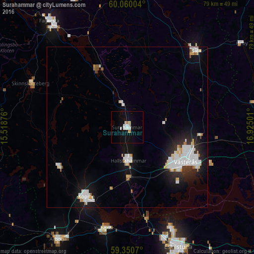
88.11%Clear (daylight) street map image can be seen on geolist.org.
Map coordinates:
60° 3' 36.1" North, 15° 31' 7.5" East
59° 42' 26.1" North, 16° 13' 18.8" East
59° 21' 2.5" North, 16° 55' 30" East
Some cities around Surahammar sort by population:
• Västerås
21.2 km =13.2 mi,  118°
118°
• Köping
25.1 km =15.6 mi,  210°
210°
• Sala
32 km =19.9 mi,  42°
42°
• Fagersta
40.8 km =25.4 mi,  324°
324°
• Arboga
41 km =25.5 mi, 211°
• Hallstahammar
10.4 km =6.5 mi,  177°
177°
• Torshälla
35.1 km =21.8 mi,  156°
156°
• Kungsör
32.4 km =20.1 mi,  192°
192°
2670613 (p: 6,270)
Sources (retrieved 2019-11-25):
» Earth at Night: Flat Maps 2012, 2016