Sölvesborg night lights from space
Night Light of Sölvesborg (Blekinge) from space (Sweden) Src. Average luminocity for 10x10km area is 12.9593% and for 50x50km: 4.0766%.
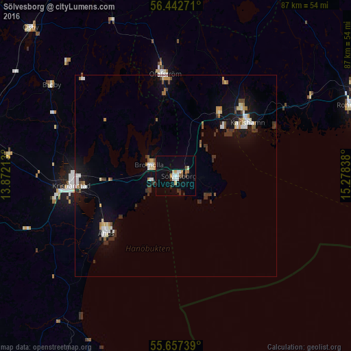
Analysis of Sölvesborg night lights 2016
Square area 10x10 km:
 1.79%
1.79%90-99
2.51%80-89
1.32%70-79
1.08%60-69
0.84%50-59
0.96%40-49
1.56%30-39
2.03%20-29
0.36%10-19
3.11%0-9
84.45%Square area 50x50 km:
0.58%90-99
0.66%80-89
0.41%70-79
0.32%60-69
0.44%50-59
0.34%40-49
0.35%30-39
1.17%20-29
0.22%10-19
2.93%0-9
92.57%Clear (daylight) street map image can be seen on geolist.org.
Map coordinates:
56° 26' 33.8" North, 13° 52' 19.7" East
56° 3' 7.4" North, 14° 34' 30.9" East
55° 39' 26.6" North, 15° 16' 42.2" East
Some cities around Sölvesborg sort by population:
• Kristianstad
26.4 km =16.4 mi,  264°
264°
• Karlshamn
22.1 km =13.7 mi,  53°
53°
• Hässleholm
51.5 km =32 mi,  283°
283°
• Ronneby
46.8 km =29.1 mi,  67°
67°
• Åhus
23.6 km =14.7 mi,  230°
230°
• Bromölla
7.1 km =4.4 mi,  291°
291°
• Osby
51.3 km =31.9 mi,  315°
315°
• Olofström
25.2 km =15.7 mi,  354°
354°
2675365 (p: 8,972)
Sources (retrieved 2019-11-25):
» Earth at Night: Flat Maps 2012, 2016