Lindsdal night lights from space
Night Light of Lindsdal (Kalmar) from space (Sweden) Src. Average luminocity for 10x10km area is 19.7024% and for 50x50km: 3.3513%.
Analysis of Lindsdal night lights 2016
Square area 10x10 km:
 4.4%
4.4%90-99
4.29%80-89
1.9%70-79
0.71%60-69
1.55%50-59
0%40-49
0.95%30-39
0.95%20-29
10.6%10-19
20.71%0-9
53.93%Square area 50x50 km:
0.65%90-99
0.8%80-89
0.37%70-79
0.25%60-69
0.19%50-59
0.13%40-49
0.32%30-39
0.34%20-29
0.85%10-19
2.72%0-9
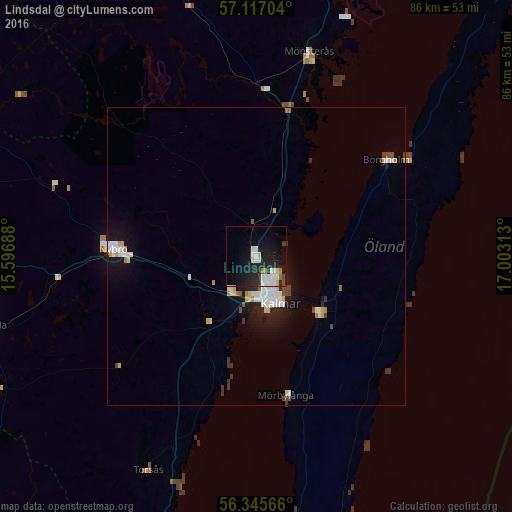
93.39%Clear (daylight) street map image can be seen on geolist.org.
Map coordinates:
57° 7' 1.3" North, 15° 35' 48.8" East
56° 43' 60" North, 16° 18' 0" East
56° 20' 44.4" North, 17° 0' 11.3" East
Some cities around Lindsdal sort by population:
• Kalmar
8.8 km =5.5 mi,  154°
154°
• Karlskrona
77.2 km =48 mi,  214°
214°
• Oskarshamn
59.7 km =37.1 mi,  8°
8°
• Nybro
24 km =14.9 mi,  272°
272°
• Ronneby
85.7 km =53.3 mi,  227°
227°
• Södra Sandby
26.8 km =16.7 mi,  133°
133°
• Färjestaden
13.9 km =8.6 mi, 132°
• Hultsfred
88.3 km =54.9 mi,  341°
341°
2694808 (p: 5,709)
Sources (retrieved 2019-11-25):
» Earth at Night: Flat Maps 2012, 2016