Zarechnyy night lights from space
Night Light of Zarechnyy (Sverdlovsk) from space (Russia) Src. Average luminocity for 10x10km area is 13.8024% and for 50x50km: 4.1728%.
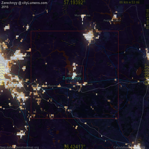
Analysis of Zarechnyy night lights 2016
Square area 10x10 km:
 3.1%
3.1%90-99
3.21%80-89
0.12%70-79
1.67%60-69
0.48%50-59
0.48%40-49
0.24%30-39
1.43%20-29
0%10-19
18.21%0-9
71.07%Square area 50x50 km:
0.56%90-99
0.78%80-89
0.23%70-79
0.46%60-69
0.54%50-59
0.63%40-49
0.7%30-39
0.44%20-29
0.52%10-19
3.38%0-9
91.76%Clear (daylight) street map image can be seen on geolist.org.
Map coordinates:
57° 11' 38.1" North, 60° 37' 20.2" East
56° 48' 39.6" North, 61° 19' 31.4" East
56° 25' 26.9" North, 62° 1' 42.7" East
Some cities around Zarechnyy sort by population:
• Asbest
23.5 km =14.6 mi,  19°
19°
• Beryozovsky
33.6 km =20.9 mi,  288°
288°
• Aramil
32.3 km =20.1 mi,  247°
247°
• Beloyarskiy
8 km =5 mi,  137°
137°
• Malysheva
34.5 km =21.4 mi,  7°
7°
• Istok
33.3 km =20.7 mi,  266°
266°
• Bobrovskiy
26 km =16.2 mi,  233°
233°
• Dvurechensk
27.5 km =17.1 mi,  210°
210°
1485445 (p: 27,758)
Sources (retrieved 2019-11-25):
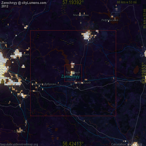
» Earth at Night: Flat Maps 2012, 2016