Yekaterinburg night lights from space
Night Light of Yekaterinburg (Sverdlovsk) from space (Russia) Src. Average luminocity for 10x10km area is 97.5417% and for 50x50km: 22.3377%.
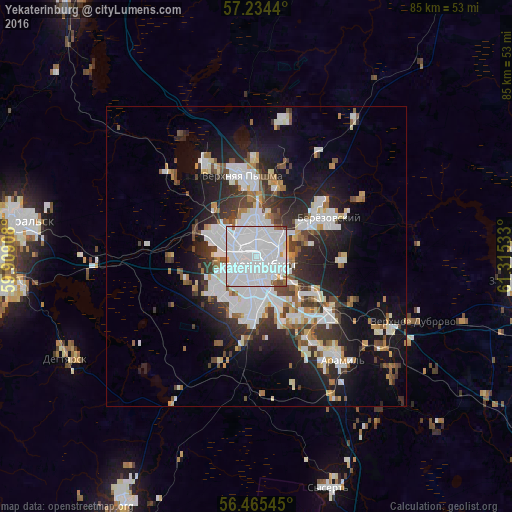
Analysis of Yekaterinburg night lights 2016
Square area 10x10 km:
 74.05%
90-99
20.12%80-89
0.48%70-79
1.31%60-69
2.02%50-59
1.19%40-49
0.6%30-39
0.24%20-29
0%10-19
0%0-9
0%Square area 50x50 km:
7.05%90-99
4.87%80-89
1.47%70-79
1.4%60-69
1.82%50-59
2.06%40-49
2.3%30-39
3.19%20-29
5.57%10-19
10.87%0-9
59.41%Clear (daylight) street map image can be seen on geolist.org.
Map coordinates:
57° 14' 3.8" North, 59° 54' 32.7" East
56° 51' 6.8" North, 60° 36' 43.9" East
56° 27' 55.6" North, 61° 18' 55.2" East
Some cities around Yekaterinburg sort by population:
• Verkhnyaya Pyshma
13.3 km =8.3 mi,  352°
352°
• Beryozovsky
13.1 km =8.1 mi,  61°
61°
• Sredneuralsk
17.6 km =10.9 mi,  329°
329°
• Degtyarsk
35.9 km =22.3 mi,  242°
242°
• Aramil
21.9 km =13.6 mi,  141°
141°
• Istok
12.2 km =7.6 mi,  123°
123°
• Monetnyy
27.1 km =16.8 mi,  36°
36°
• Bobrovskiy
30 km =18.6 mi,  131°
131°
1486209 (p: 1,349,772)
Sources (retrieved 2019-11-25):
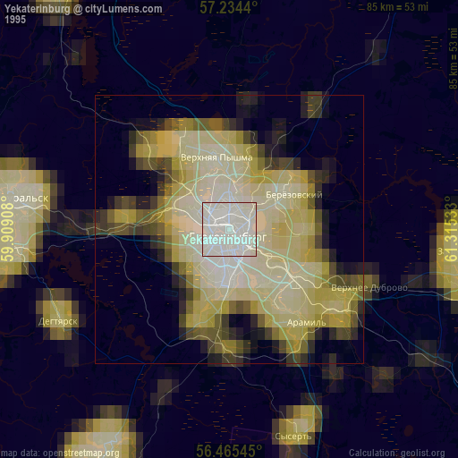
» NASA, Earths city lights 1995
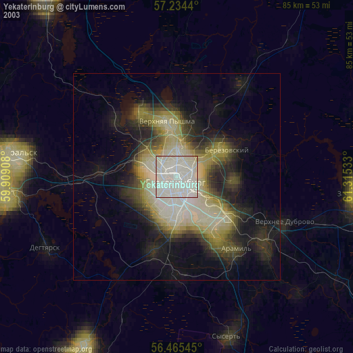
» NASA city lights 2003
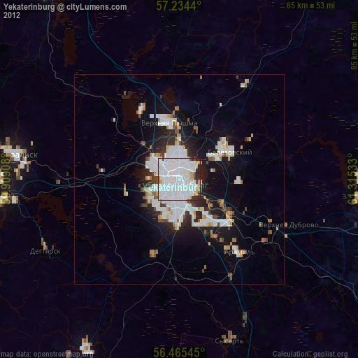
» Earth at Night: Flat Maps 2012, 2016