Vostryakovo night lights from space
Night Light of Vostryakovo (Moscow Oblast) from space (Russia) Src. Average luminocity for 10x10km area is 59.0024% and for 50x50km: 37.971%.
Analysis of Vostryakovo night lights 2016
Square area 10x10 km:
 10.89%
90-99
13.04%80-89
9.57%70-79
6.94%60-69
7.54%50-59
3.59%40-49
10.53%30-39
16.39%20-29
19.86%10-19
1.67%0-9
0%Square area 50x50 km:
8.61%90-99
7.21%80-89
4.26%70-79
5.39%60-69
5.06%50-59
4.42%40-49
5.71%30-39
5.95%20-29
8.99%10-19
12.37%0-9
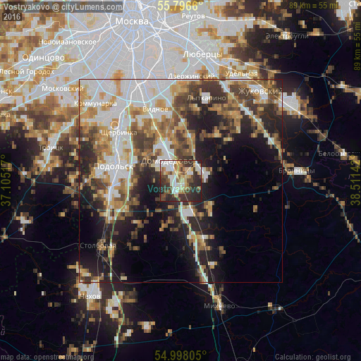
32.03%Clear (daylight) street map image can be seen on geolist.org.
Map coordinates:
55° 47' 47.8" North, 37° 6' 18.6" East
55° 23' 57.6" North, 37° 48' 29.8" East
54° 59' 53" North, 38° 30' 41.1" East
Some cities around Vostryakovo sort by population:
• Podolsk
16.2 km =10.1 mi,  279°
279°
• Klimovsk
18 km =11.2 mi,  257°
257°
• Domodedovo
5.8 km =3.6 mi,  323°
323°
• Vidnoye
18.1 km =11.2 mi,  339°
339°
• Petrovskaya
16.8 km =10.4 mi,  354°
354°
• Shcherbinka
19.2 km =11.9 mi,  305°
305°
• Andreyevskoye
18.8 km =11.7 mi,  23°
23°
• Belyye Stolby
8.1 km =5 mi,  159°
159°
471457 (p: 16,509)
Sources (retrieved 2019-11-25):
» Earth at Night: Flat Maps 2012, 2016