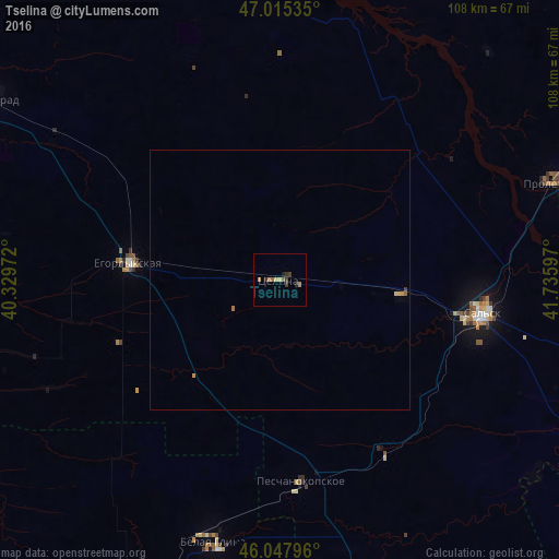
Tselina night lights from space
Night Light of Tselina (Rostov) from space (Russia) Src. Average luminocity for 10x10km area is 4.6534% and for 50x50km: 0.3098%.
Analysis of Tselina night lights 2016
Square area 10x10 km:
 0%
0%90-99
0%80-89
0.71%70-79
1.14%60-69
1.14%50-59
0.99%40-49
0.14%30-39
2.41%20-29
0.99%10-19
0.43%0-9
92.05%Square area 50x50 km:
0%90-99
0%80-89
0.07%70-79
0.1%60-69
0.07%50-59
0.06%40-49
0.01%30-39
0.12%20-29
0.04%10-19
0.02%0-9
99.51%Clear (daylight) street map image can be seen on geolist.org.
Map coordinates:
47° 0' 55.3" North, 40° 19' 47" East
46° 32' 1.7" North, 41° 1' 58.2" East
46° 2' 52.7" North, 41° 44' 9.5" East
Some cities around Tselina sort by population:
• Sal’sk
39.5 km =24.5 mi,  99°
99°
• Zernograd
65.2 km =40.5 mi,  302°
302°
• Proletarsk
56.3 km =35 mi,  70°
70°
• Belaya Glina
52.3 km =32.5 mi,  194°
194°
• Yegorlykskaya
29 km =18 mi,  277°
277°
• Peschanokopskoye
37.8 km =23.5 mi,  174°
174°
• Gigant
23.8 km =14.8 mi, 97°
• Mechetinskaya
51.3 km =31.9 mi, 300°
481036 (p: 11,075)
Sources (retrieved 2019-11-25):
» Earth at Night: Flat Maps 2012, 2016