Troitsk night lights from space
Night Light of Troitsk (Moscow) from space (Russia) Src. Average luminocity for 10x10km area is 58.2469% and for 50x50km: 51.5453%.
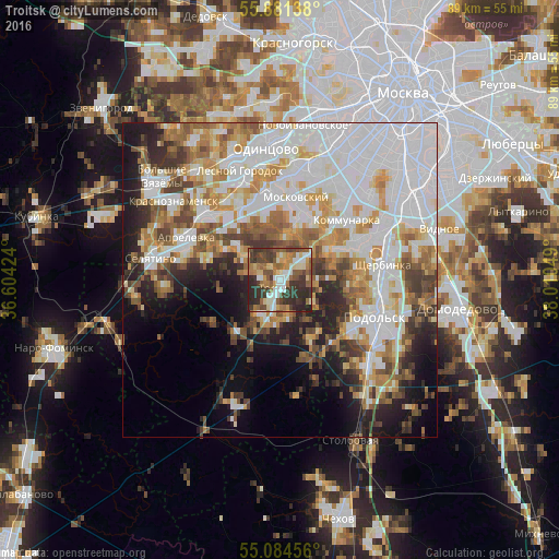
Analysis of Troitsk night lights 2016
Square area 10x10 km:
 7.89%
7.89%90-99
12.41%80-89
8.27%70-79
5.64%60-69
10.9%50-59
11.03%40-49
8.52%30-39
19.67%20-29
15.41%10-19
0.25%0-9
0%Square area 50x50 km:
17.9%90-99
11.02%80-89
4.91%70-79
6.41%60-69
5.74%50-59
5.48%40-49
5.32%30-39
4.79%20-29
6.41%10-19
8.85%0-9
23.18%Clear (daylight) street map image can be seen on geolist.org.
Map coordinates:
55° 52' 53" North, 36° 36' 15.3" East
55° 29' 5.9" North, 37° 18' 26.5" East
55° 5' 4.4" North, 38° 0' 37.8" East
Some cities around Troitsk sort by population:
• Podolsk
17 km =10.6 mi,  113°
113°
• Annino
11.3 km =7 mi,  344°
344°
• Shcherbinka
16 km =9.9 mi,  84°
84°
• Vnukovo
14.1 km =8.8 mi,  357°
357°
• Aprelevka
16.1 km =10 mi,  297°
297°
• Moskovskiy
13 km =8.1 mi,  13°
13°
• Kokoshkino
15.2 km =9.4 mi,  325°
325°
• Vatutinki
1.9 km =1.2 mi,  47°
47°
481608 (p: 37,591)
Sources (retrieved 2019-11-25):
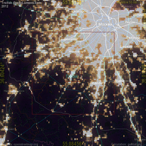
» Earth at Night: Flat Maps 2012, 2016